
Country United States FIPS code 18-00370 Elevation 246 m Local time Thursday 1:02 AM Area code 812 | Time zone Eastern (EST) (UTC-5) GNIS feature ID 0453076 Zip code 47240 Population 1,944 (2010) | |
 | ||
Weather 3°C, Wind W at 29 km/h, 63% Humidity Area 85.39 km² (85.31 km² Land / 10 ha Water) | ||
Adams Township is one of nine townships in Decatur County, Indiana. As of the 2010 census, its population was 1,944 and it contained 793 housing units.
Contents
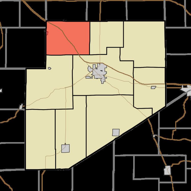
- Map of Adams Township IN USA
- History
- Geography
- Unincorporated towns
- Adjacent townships
- Major highways
- Cemeteries
- References
Map of Adams Township, IN, USA
History
Adams Township was organized in 1822.
Geography
According to the 2010 census, the township has a total area of 32.97 square miles (85.4 km2), of which 32.94 square miles (85.3 km2) (or 99.91%) is land and 0.04 square miles (0.10 km2) (or 0.12%) is water.
Unincorporated towns
(This list is based on USGS data and may include former settlements.)
Adjacent townships
Major highways
Cemeteries
The township contains four cemeteries: Arnold, Mount Hebron, Shiloh and Union.
References
Adams Township, Decatur County, Indiana Wikipedia(Text) CC BY-SA