
Country United States GNIS feature ID 453826 Area 77.34 km² Population 1,179 (2010) | FIPS code 18-67536 Elevation 302 m Local time Wednesday 2:21 PM | |
 | ||
Weather 11°C, Wind E at 14 km/h, 73% Humidity | ||
Salt Creek Township is one of nine townships in Decatur County, Indiana. As of the 2010 census, its population was 1,179 and it contained 483 housing units.
Contents
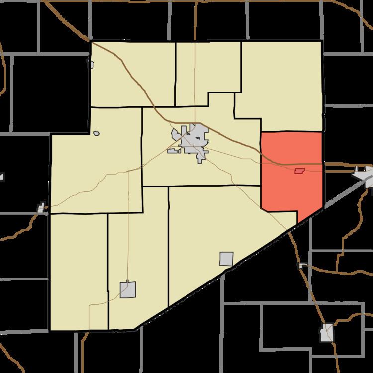
- Map of Saltcreek Township IN USA
- History
- Geography
- Unincorporated towns
- Adjacent townships
- Major highways
- Cemeteries
- References
Map of Saltcreek Township, IN, USA
History
Salt Creek Township was organized in 1836.
Geography
According to the 2010 census, the township has a total area of 29.86 square miles (77.3 km2), all land.
Unincorporated towns
(This list is based on USGS data and may include former settlements.)
Adjacent townships
Major highways
Cemeteries
The township contains two cemeteries: Maple and Ross.
References
Salt Creek Township, Decatur County, Indiana Wikipedia(Text) CC BY-SA