
Country United States GNIS feature ID 453984 Local time Saturday 11:25 PM | FIPS code 18-80396 Elevation 230 m Population 4,896 (2010) | |
 | ||
Weather 13°C, Wind SE at 10 km/h, 41% Humidity Area 264.2 km² (257.5 km² Land / 6.682 km² Water) Points of interest Hoosier National Forest, Brown County State Park, Brown County Winery, Brown County Art Guild, Ramp Creek Covered | ||
Washington Township is one of four townships in Brown County, Indiana. As of the 2010 census, its population was 4,896 and it contained 2,519 housing units. The township includes the northern portion of Brown County State Park.
Contents
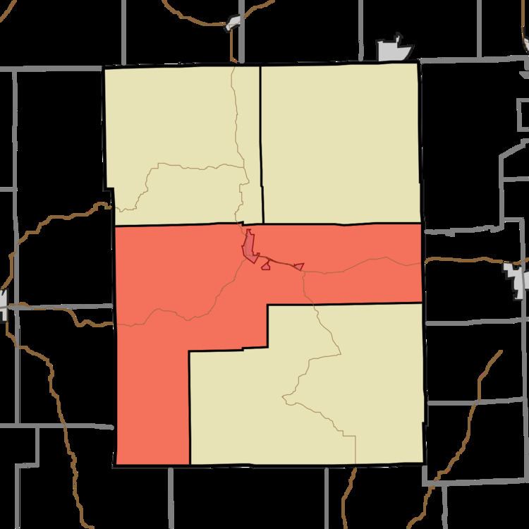
- Map of Washington Township IN USA
- History
- Geography
- Cities and towns
- Unincorporated towns
- Adjacent townships
- Major highways
- Cemeteries
- References
Map of Washington Township, IN, USA
History
Washington Township was established in 1836.
The Brown County Bridge No. 36 and Theodore Clement Steele House and Studio are listed on the National Register of Historic Places.
Geography
According to the 2010 census, the township has a total area of 102 square miles (260 km2), of which 99.42 square miles (257.5 km2) (or 97.47%) is land and 2.58 square miles (6.7 km2) (or 2.53%) is water. Axsom Branch Pond and Terrill Ridge Pond are in this township.
Cities and towns
Unincorporated towns
(This list is based on USGS data and may include former settlements.)
Adjacent townships
Major highways
Cemeteries
The township contains eight cemeteries: Clark, Crouch, David, Dobbs, Hickory Hill, Marlett, Pittman, South View , and Terrill.