
Country United States ZIP codes 47264, 47401, 47436 Elevation 243 m Local time Thursday 3:33 AM | GNIS feature ID 0453756 Area 100.5 km² Population 360 (2010) | |
 | ||
Weather -1°C, Wind E at 10 km/h, 61% Humidity Points of interest Hoosier National Forest, Cutright State Recreatio, Charles C Deam Wilderne | ||
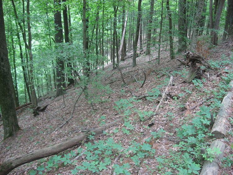
Polk Township is one of eleven townships in Monroe County, Indiana, United States. As of the 2010 census, its population was 360 and it contained 195 housing units. It is one of the least densely populated townships in the state; this is largely because most of the land is occupied by Lake Monroe, the Hoosier National Forest, and seasonal homes and attractions.
Contents
- Map of Polk Township IN USA
- History
- Geography
- Unincorporated towns
- Cemeteries
- School districts
- Political districts
- References
Map of Polk Township, IN, USA
History
Polk Township was established in 1849. It was established soon after the term of its namesake, James K. Polk, had ended.
Epsilon II Archaeological Site and Kappa V Archaeological Site are listed on the National Register of Historic Places.
Geography
According to the 2010 census, the township has a total area of 38.79 square miles (100.5 km2), of which 34.16 square miles (88.5 km2) (or 88.06%) is land and 4.63 square miles (12.0 km2) (or 11.94%) is water.
Unincorporated towns
(This list is based on USGS data and may include former settlements.)
Cemeteries
The township contains these four cemeteries: Burgoon Church, Hillenburg, Mitchell and Todd.