Country United States GNIS feature ID 453942 Population 2,008 (2010) | FIPS code 18-78398 Elevation 211 m Local time Friday 10:33 PM | |
 | ||
Weather 5°C, Wind NW at 13 km/h, 89% Humidity Area 226.2 km² (225.8 km² Land / 34 ha Water) Points of interest Hoosier National Forest, Brown County State Park, Browning Mountain Indiana's | ||
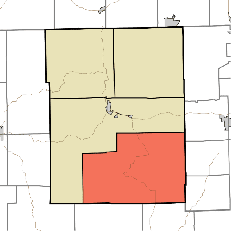
Van Buren Township is one of four townships in Brown County, Indiana. As of the 2010 census, its population was 2,008 and it contained 941 housing units. The township includes the southern portion of Brown County State Park.
Contents
- Map of Van Buren Township IN USA
- History
- Geography
- Unincorporated towns
- Adjacent townships
- Major highways
- Cemeteries
- References
Map of Van Buren Township, IN, USA
History
Van Buren Township was established in 1836. It is named for Martin Van Buren, eighth President of the United States.
In 1892, a church later known as Grandview Apostolic Church was built along Grandview Ridge Road, on the eastern edge of Van Buren Township. It was added to the National Register of Historic Places in 1991, but after it was arsoned on July 14, 2010, it was removed from the Register.
The Thomas A. Hendricks House and Stone Head Road Marker at Stone Head was listed on the National Register of Historic Places in 1984.
Geography
According to the 2010 census, the township has a total area of 87.33 square miles (226.2 km2), of which 87.2 square miles (226 km2) (or 99.85%) is land and 0.13 square miles (0.34 km2) (or 0.15%) is water. Black Oak Pond, Meyer Pond and Treaty Line Pond are in this township.
Unincorporated towns
(This list is based on USGS data and may include former settlements.)
Adjacent townships
Major highways
Cemeteries
The township contains eight cemeteries: Beck, Cain, Elkinsville, McKinney, Moffitt, Phillips, Reeves and Spiker.
