
Country United States GNIS feature ID 453433 Local time Friday 10:46 PM | FIPS code 18-36810 Elevation 214 m Population 4,002 (2010) | |
 | ||
Weather 9°C, Wind W at 10 km/h, 94% Humidity Area 161.6 km² (159 km² Land / 256 ha Water) | ||
Jackson Township is one of four townships in Brown County, Indiana. As of the 2010 census, its population was 4,002 and it contained 2,112 housing units.
Contents
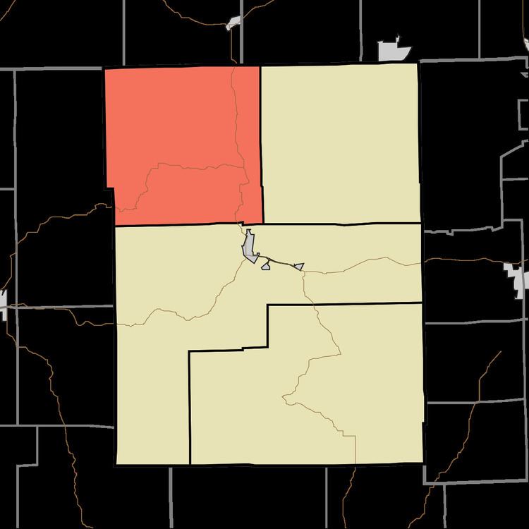
- Map of Jackson Township IN USA
- History
- Geography
- Unincorporated towns
- Adjacent townships
- Major highways
- Cemeteries
- References
Map of Jackson Township, IN, USA
History
Jackson Township was named for Andrew Jackson.
Geography
According to the 2010 census, the township has a total area of 62.38 square miles (161.6 km2), of which 61.39 square miles (159.0 km2) (or 98.41%) is land and 0.99 square miles (2.6 km2) (or 1.59%) is water.
Unincorporated towns
(This list is based on USGS data and may include former settlements.)
Adjacent townships
Major highways
Cemeteries
The township contains two cemeteries: Georgetown and Lanam.
References
Jackson Township, Brown County, Indiana Wikipedia(Text) CC BY-SA