
Country United States GNIS feature ID 453363 Local time Wednesday 6:37 AM | FIPS code 18-30528 Elevation 255 m Population 4,336 (2010) | |
 | ||
Weather -7°C, Wind NW at 16 km/h, 66% Humidity Area 168.1 km² (165.7 km² Land / 246 ha Water) | ||
Hamblen Township is one of four townships in Brown County, Indiana. As of the 2010 census, its population was 4,336 and it contained 2,713 housing units.
Contents
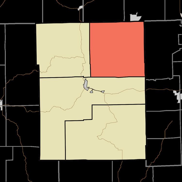
- Map of Hamblen Township IN USA
- History
- Geography
- Unincorporated towns
- Adjacent townships
- Cemeteries
- References
Map of Hamblen Township, IN, USA
History
Hamblen Township was named for Jesse Hamblen, a pioneer settler.
Geography
According to the 2010 census, the township has a total area of 64.92 square miles (168.1 km2), of which 63.97 square miles (165.7 km2) (or 98.54%) is land and 0.95 square miles (2.5 km2) (or 1.46%) is water.
Unincorporated towns
(This list is based on USGS data and may include former settlements.)
Adjacent townships
Cemeteries
The township contains six cemeteries: Anderson, Calvin, Duncan, Mount Moriah, Taylor and Zion Church.
References
Hamblen Township, Brown County, Indiana Wikipedia(Text) CC BY-SA