
Traversed by SR 178 NRHP Reference # 66000210 Added to NRHP October 15, 1966 Elevation 1,600 m Year built 1834 | CHISL # 99 Designated NHL July 4, 1961 Area 45 ha Range Sierra Nevada | |
 | ||
Similar Sierra Nevada, Owens Peak, Tehachapi Pass, Sonora Pass, Sherman Pass | ||
Walker Pass (el. 5,250 ft (1,600 m)) is a mountain pass by Lake Isabella in the southern Sierra Nevada. It is located in northeastern Kern County, approximately 53 mi (85 km) ENE of Bakersfield and 10 mi (16 km) WNW of Ridgecrest. The pass provides a route between the Kern River Valley and San Joaquin Valley on the west, and the Mojave Desert on the east.
Contents
Map of Walker Pass, California 93255, USA
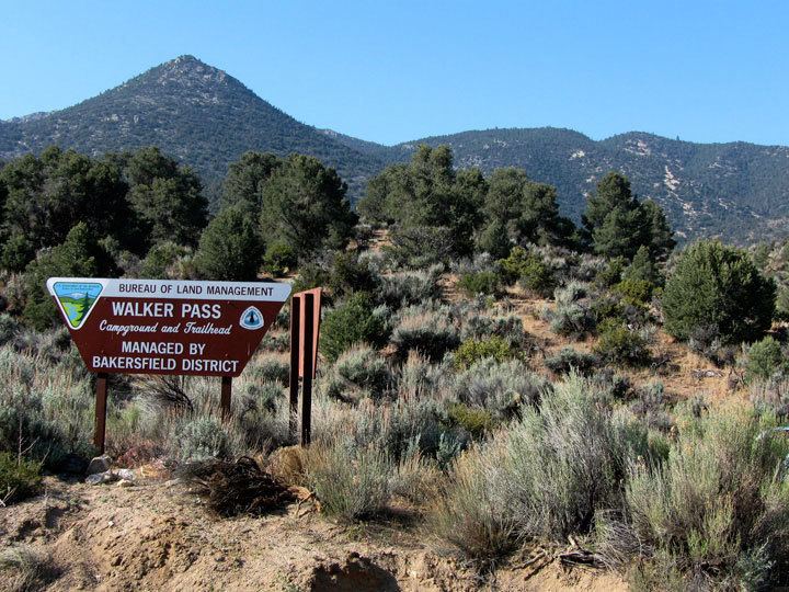
Walker Pass is a National Historic Landmark, and is under the stewardship of the Bureau of Land Management.
History
Walker Pass was charted as a route through the Sierra in 1834 by Joseph Reddeford Walker and Garland Guthary, members of the Bonneville Expedition who learned of it from Native Americans. Walker returned through the pass in 1843, leading an immigrant wagon train into California. In 1845 the military surveying expedition of John C. Fremont used the pass. He suggested it be named after Walker.
The Walker Pass Lodge was built nearby in the 1930s and was a well-known rest stop before burning down around 1990.
Description
It is the highest point on State Route 178. Aside from the paved road, the pass is essentially unaltered since Walker mapped it in 1834.
Between Walker Pass and Tioga Pass, several hours drive to the north, there is only one paved road for automobiles to cross over the Sierra Nevada mountains. It runs from the northern end of Indian Wells Valley at the east, to the hydrologic pass between the Great Basin and the Pacific Ocean at the top of the Nine-Mile Canyon road, then west along the Sherman Pass Road.
All roads between Walker Pass and Carson Pass (State Route 88), over 200 miles (320 km) in distance, are subject to extended closure by winter snowfall. Walker Pass is sometimes closed due to snowfall, but due to its lower elevation these closures are for brief periods. However, most east-west traffic in the region utilizes the four lane State Route 58 through Tehachapi Pass, located about one hour's drive to the south.
The Pacific Crest Trail crosses at Walker Pass, and northbound thru-hikers can look forward to the longest roadless stretch of the entire trail. A campsite situated about 0.6 miles (1 kilometer) northwest of the road pass is a popular stop for hikers and astronomers alike.