
Length 196.3 km | ||
 | ||
East end: SR 88 towards Minden, NV | ||
State Route 88 (SR 88), also known as the Carson Pass Highway, is a California State Highway that travels in an east–west direction, from Stockton, crossing the Sierra Nevada at Carson Pass, and ending at the border with Nevada, whereupon it becomes Nevada State Route 88, eventually terminating at U.S. Route 395.
Contents
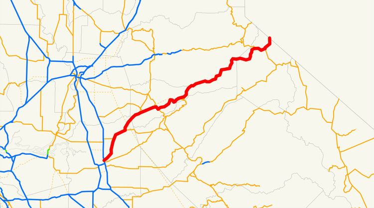
- Map of CA 88 California USA
- Route description
- Historical landmarks
- History
- Major intersections
- References
Map of CA-88, California, USA
Unlike other two-lane California highways through the mountains (Routes 4, 108 and 120), Route 88 stays open through winter, except during the worst snowstorms, making it the third major route through the mountains, after Interstate 80 and U.S. Route 50. In fact, Route 88 over the Carson Pass is designated as Alternate U.S. 50, such that it may be used during floods of the American River Canyon.
Route description
SR 88 is part of the California Freeway and Expressway System and is eligible for the State Scenic Highway System. However, it is only a scenic highway as designated by Caltrans from the Dew Drop ranger station to the Nevada state line. The road is kept open all winter but can be subject to restrictions or short-term closure due to snow (including avalanches) or ice; the current road condition is posted online by Caltrans.
SR 88 begins just outside Stockton as Waterloo Road, heading northeast towards Waterloo. The highway turns north at Waterloo, and SR 88 continues north to an intersection with SR 12, where the latter runs concurrently. SR 88 continues through Lockeford and Clements before continuing into Amador County. Continuing northeast, SR 88 intersects the southern terminus of SR 124 and the eastern terminus of SR 104 before passing through the town of Sunnybrook. In the community of Martell, SR 88 turns south, running concurrently with SR 49 for a brief period of time, before turning northeast again and intersecting the eastern terminus of SR 26. The highway continues northeast into Pioneer Station, Buckhorn, Cooks Station, and Ham's Station before entering the state game refuge. SR 88 continues paralleling the county line with El Dorado County in El Dorado National Forest before passing by Silver Lake and Kirkwood, where SR 88 crosses into Alpine County.
In Alpine County, SR 88 continues by Caples Lake before running concurrently with SR 89 until Woodfords. The highway continues through Paynesville before entering Nevada as Nevada State Route 88. Route 88 is one of only three routes to continue with the same route number after crossing into Nevada, the others being Routes 28 and 266.
Historical landmarks
Listed in order from west to east.
History
A portion of Route 88 (from Antelope Springs to the border) started as the Amador/Nevada Wagon Route, a toll road completed in 1862, which was a major thoroughfare through the mountains, as California sent timber, food, and particularly gold to the east during the Civil War. Completion of the First Transcontinental Railroad in 1869 greatly decreased traffic on the wagon road.
The original highway number was 8 in Amador County. Old CA-8 overlaps present CA-88 from Alpine County to Jackson but continues south to Mokelumne Hill, then to Valley Springs and other points south. Present 88 follows a portion of old US-104 but diverges just south of Ione.
Major intersections
Except where prefixed with a letter, postmiles were measured on the road as it was in 1964, based on the alignment that existed at the time, and do not necessarily reflect current mileage. R reflects a realignment in the route since then, M indicates a second realignment, L refers an overlap due to a correction or change, and T indicates postmiles classified as temporary (for a full list of prefixes, see the list of postmile definitions). Segments that remain unconstructed or have been relinquished to local control may be omitted. The numbers reset at county lines; the start and end postmiles in each county are given in the county column.