Statistics New Zealand defines urban areas of New Zealand for statistical purposes (they have no administrative or legal basis). The urban areas comprise cities, towns and other conurbations (an aggregation of urban settlements) of a thousand people or more. In combination, the urban areas of the country constitute New Zealand's urban population. At the 2001 census, the urban population made up 86% of New Zealand's total population.
There are three classes of urban area:
Main urban areas, with a population of 30,000 or more. These 17 areas mostly correspond to the places known by New Zealanders as cities.Secondary urban areas are the 14 urban areas with a population of 10,000 to 30,000.Minor urban areas make up the remainder of the urban population of the country, towns with 1,000 to 10,000 people. There are 103 minor urban areas.Statistics New Zealand also defines rural centres with a population of 300 to 999 people. While these do not fit the standard international definition of an urban population, they serve to distinguish between true rural dwellers and those in rural settlements or towns.
The current placement of urban areas into the three classes is based on populations at the 2013 census, and does not reflect population changes since then. Placements are revised after every census.
Description of main urban areas
The population figures shown are Statistics New Zealand's resident population estimates at the June 2016. For rankings in various criteria see the ranked list of New Zealand urban areas. Four main urban areas are subdivided into urban zones. The following cities are listed by location from north to south.
North Island
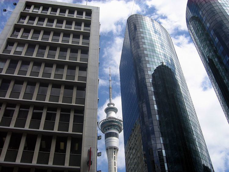
Whangarei (56,400): from Hikurangi to Portland.Auckland (1,495,000) is divided into four urban zones:Northern Auckland Urban Zone (307,900):the part of Rodney District known as the Hibiscus Coast, from Waiwera south, including Orewa and the Whangaparaoa Peninsulaall of North Shore CityWestern Auckland Urban Zone (231,300):the part of Rodney District around Kumeuthe urban part of Waitakere CityCentral Auckland Urban Zone (497,000): Auckland City, excluding the Hauraki Gulf islandsSouthern Auckland Urban Zone (458,800):the urban part of Manukau CityPapakura DistrictWhangapouri Creek and Runciman in Franklin DistrictHamilton (230,000) is divided into three urban zones:Hamilton Urban Zone (193,600): all of Hamilton City and neighbouring parts of Waikato and Waipa districts including Ngaruawahia, Taupiri and OhaupoCambridge Urban Zone (19,600): includes LeamingtonTe Awamutu Urban Zone (16,750): includes KihikihiTauranga (134,400): Omokoroa to Papamoa Beach; and Mount Maunganui to Tauriko and Pyes PaRotorua (57,800): Ngongotaha to OwhataGisborne (36,100): Makaraka to OkituNapier-Hastings (131,000) is a conurbation of two urban zones:Napier (62,100): Includes Napier City, Taradale, Eskdale, Waiohiki, Meeanee and Bay View. From Bay View to AwatotoHastings (68,900): From Havelock North to Flaxmere, includes Te Awanga, Haumoana, Pakowhai and PakipakiNew Plymouth (56,800): Oakura to Bell BlockWanganui (39,600): Westmere to MarybankPalmerston North (84,300):Palmerston North City excluding rural areas in the Tararua foothillsLongburn, Kairanga and Stoney Creek in the Manawatu DistrictKapiti (41,800): Pekapeka to PaekakarikiWellington (405,000) is divided into four urban zones:Upper Hutt (40,100): Te Marua to PinehavenLower Hutt (102,700): includes Wainuiomata, Petone and the eastern bays, excludes farmland adjacent to WainuiomataPorirua (55,200): all of Porirua City except Paekakariki Hill and Mana Island; includes Pukerua Bay and PauatahanuiWellington City (206,900): from Linden south, includes Horokiwi but excludes Makara and OhariuSouth Island
Nelson (65,700): from Glenduan to the Wairoa River, includes Richmond but excludes WhangamoaBlenheim (30,700): From Renwick to Riverlands and south to Wither HillsChristchurch (389,700): Christchurch City, Kaiapoi, and up to the Waimakariri River, Prebbleton, Tai Tapu and Lyttelton Harbour including Diamond HarbourDunedin (118,500): from Mosgiel and Brighton to Pine Hill, Ravensbourne to AramoanaInvercargill (50,700): Makarewa to Woodend and west to OtataraThe population figures shown are Statistics New Zealand's resident population estimates at the June 2016. The following towns are listed by location from north to south.
North Island
Pukekohe (29,800): From Paerata to Tuakau. Excludes Bombay.Whakatane (19,600): From Coastlands to Ōhope Beach and south to Poroporo.Tokoroa (13,700): From Tokoroa to Kinleith.Taupo (24,100): From Wairakei to Taupo Airport.Hawera (11,800): From Normanby to Mokoia.Feilding (16,250): From Halcombe to Aorangi.Levin (20,600): From Waitarere Beach to Ohau.Masterton (21,200): From Opaki to Waingawa.South Island
Greymouth (9,750): From Runanga to Southbeach and Camerons.Rangiora (17,350): From the Ashley River to FlaxtonAshburton (19,850): From Fairton to Winslow and Argyle Park.Timaru (28,800): From Washdyke to Scarborough and west to Gleniti.Queenstown (14,300): From Fernhill and Kelvin Heights to FranktonOamaru (13,850): From Pukeuri to Weston and Holmes Hill.1992Original classification
1996No change
2001Kapiti promoted from secondary to main urban areaRolleston added as minor urban areaPauanui Beach dropped to rural centre2006Edgecumbe Community renamed Edgecumbe2013Blenheim promoted from secondary to main urban areaRangiora and Queenstown promoted from minor to secondary urban areasGore demoted from secondary to minor urban areaNgunguru, Mangawhai Heads, Te Kauwhata, Ngatea, Mapua, Amberley, Methven, Rakaia and Waikouaiti added as minor urban areasRussell, Mangakino, Manaia and Hanmer Springs dropped to rural centres