
Country New Zealand Population 849 (2006) | Region Taranaki Local time Friday 10:45 PM | |
 | ||
District South Taranaki District Weather 16°C, Wind W at 8 km/h, 89% Humidity | ||
Normanby is a small village in South Taranaki, New Zealand. It is approximately 6 km inland from Hawera along State Highway 3. Eltham is 13 km further north. It is also situated on the Marton - New Plymouth Line railway, which has been freight-only through Normanby since the cessation of passenger railcar services between Wellington and New Plymouth on 30 July 1977.
Contents
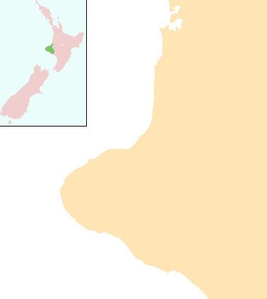
Map of Normanby, New Zealand
The population of Normanby and its surrounding hinterland was 849 in the 2006 Census, a decrease of 24 from 2001.
The town was founded at the site of the Waihi redoubt, which was established as a field headquarters in September 1866 by colonial military forces fighting Hauhau Māori in the Second Taranaki War
Ketemarae Pa
Located near Normanby is Ketemarae Pa, a local historic centre for Maori settlement. It is an entry point for the Whakaahurangi track to Kairoa Pa, near Lepperton. This track linked northern and southern Taranaki before British settlement.
Education
Normanby School is a coeducational contributing primary (years 1–6) school with a decile rating of 4 and a roll of 130. The school was established in 1876.