
Local time Monday 5:24 PM | ||
 | ||
Weather 22°C, Wind E at 11 km/h, 66% Humidity | ||
Nz skate park ep 32 flaxmere skate park spot check hastings
Flaxmere is a suburb in the Hawke's Bay region of New Zealand's North Island.
Contents
- Nz skate park ep 32 flaxmere skate park spot check hastings
- Map of Flaxmere Hastings New Zealand
- The all blacks visit flaxmere high school in hastings
- References
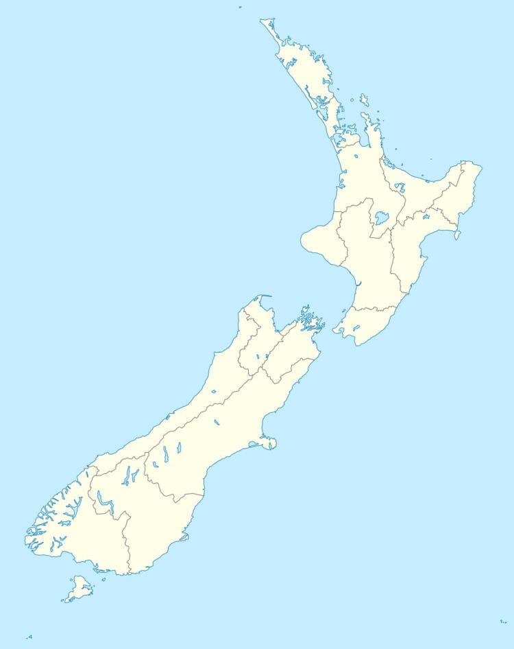
Map of Flaxmere, Hastings, New Zealand
It is located north-west of Hastings, and is regarded as a suburb of its larger neighbour. Flaxmere has a population of 9,408 according to the 2013 Census. It is located in the Hastings Metropolitan Area. It is also known by the Maori name of Paharakeke.
Flaxmere was built to cater to the housing demand of Hastings. Flaxmere was intended to be an upper-middle class subdivision but because land was subdivided into smaller lots it turned into a low income neighbourhood. Flaxmere has one of the highest social deprivation index values of the Napier-Hastings metropolitan area, being exceeded only by the suburbs of Camberley and Maraenui.
The suburb is typical of modern suburbs with a long avenue (Flaxmere Avenue) running its length with curved streets and cul-de-sacs radiating from it. Parks and reserves are abundant and Flaxmere has primary schools and a high school (Flaxmere College) which was formed from the old Flaxmere Intermediate School. There is multiple primary schools including Peterhead Primary, Flaxmere Primary on Irongate Primary.
It has a small shopping centre with a supermarket, petrol station, post office, bakery, video store, butchery, indoor rock climbing centre, and various other businesses offering necessities and/or leisure. Other amenities include a library, police station, several churches and an indoor swimming complex (Flaxmere Waterworld).