
Country New Zealand Postcode(s) 2121 University Tuakau College | Region Waikato Region Local time Sunday 4:58 PM | |
 | ||
Weather 24°C, Wind NE at 29 km/h, 64% Humidity | ||
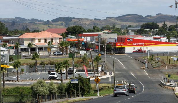
Tūākau is a town in the Waikato region, formerly part of the Auckland Region until 2010, when it became part of Waikato District in the North Island of New Zealand. The town serves to support local farming, and is the residence of many employees of New Zealand Steel at Glenbrook.
Contents
Map of Tuakau, New Zealand
Toponymy
The place name is believed to be a geographical reference to the high bluff nearby that offers views down the Waikato river. In Māori the word Tū can mean ‘to stand’ and ākau ‘river bank’.
History
The area was first used as a trading centre for passing waka that would transport goods up and down the Waikato river.
In 1863 war broke out just south of the river and the New Zealand Government stationed in Tūākau Imperial troops brought over from Great Britain. To help defend the area the Alexandra Redoubt was built as a defensive fort on the bluff near the river.The existing town which was originally intended to be built closer to the Waikato River was subsequently built in an area 2km further inland.
The town’s ‘Tuakau Bridge’ replaced the need for a ferry from November 1902. A span of the original wooden bridge collapsed on 23 August 1929 and was replaced by the current £24,000 ($2.9m at 2015 prices), 750 ft (230 m) bridge from 22 June 1933, designed by Jones & Adams, who also built Horotiu (1921), Te Aroha (1926), Ngamuwahine River (1930) and Fairfield bridges (1937).
By 1914 the people of Tūākau had formed their own town district which went on to achieve borough status on 1 January 1955. Amalgamations since 1989 has seen it first become part of the Franklin District governed by a District Council and then in 2010 with border changes saw it became part of Waikato District when present day Auckland Council boundaries were created.
Demographics
The 2013 Census showed 4,182 people usually live in Tūākau. This is an increase of 681 people, or 19.5 percent, since the 2006 Census. The ethnic makeup of the town and surrounding areas is predominately European and Māori.
Schools
The main primary school is Tūākau Primary, where Sir Edmund Hillary and Hugh Poland were educated. Harrisville Primary is at the northern reach of Tūākau. Tūākau College with a roll over 600 caters for Year 7 to 13 students.