Designated January 5, 2010 Nearest city Dubuque | Area 971.2 km² Established 1924 | |
 | ||
Governing body U.S. Fish and Wildlife Service Management | ||
The upper mississippi river national wildlife and fish refuge
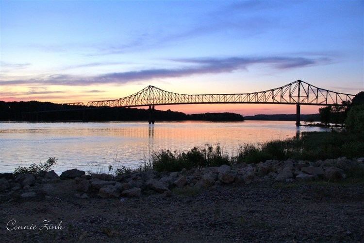
The Upper Mississippi River National Wildlife and Fish Refuge is a 240,000-acre (970 km2), 261-mile long (420 km) National Wildlife Refuge located in and along the Upper Mississippi River. It runs from Wabasha, Minnesota in the north to Rock Island, Illinois in the south.
Contents
- The upper mississippi river national wildlife and fish refuge
- New beginnings on the upper mississippi river national wildlife and fish refuge
- Territory in refugeEdit
- MinnesotaEdit
- WisconsinEdit
- IowaEdit
- IllinoisEdit
- References
In its northern portion, it is in the Driftless Area, a region of North America that escaped being ice-covered during the last ice age. Certain parcels contained within the refuge were later transferred to the Driftless Area National Wildlife Refuge.
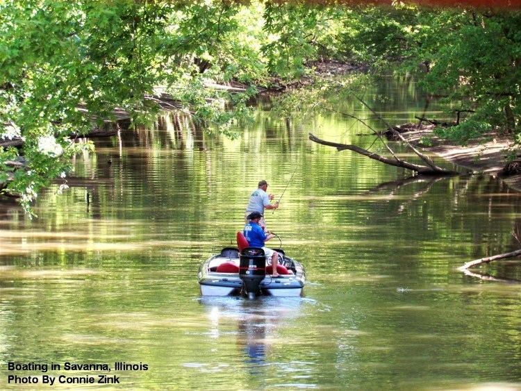
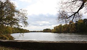
The refuge is an important element of the Mississippi Flyway. It has many wooded islands, sloughs, and hardwood forests. The wildlife found here include the canvasback duck, tundra swan, white-tailed deer, and muskrat. Recreational activities include boating, hunting, fishing, and swimming.

New beginnings on the upper mississippi river national wildlife and fish refuge
Territory in refugeEdit
The Refuge is one of only two (the other is Silvio O. Conte National Fish and Wildlife Refuge) that are located in parts of four states. As of 30 September 2007 the area per state was: Wisconsin: 89,637.54 acres (362.75 km²), Iowa: 51,147.78 acres (206.99 km²), Minnesota: 33,868.64 acres (137.06 km²), Illinois: 33,489.57 acres (135.53 km²). The following counties border on or have land within the Upper Mississippi River National Wildlife and Fish Refuge. In each state, the counties are listed from north to south. The lakes and rivers within the refuge area of each county are also listed.
MinnesotaEdit
WisconsinEdit
IowaEdit
IllinoisEdit