
Website co.houston.mn.us Founded 23 February 1854 | Area 1,474 km² Population 18,799 (2013) Unemployment rate 3.7% (Apr 2015) | |
 | ||
Destinations | ||
Houston County is a county located in the U.S. state of Minnesota. As of the 2010 census, the population was 19,027. Its county seat is Caledonia.
Contents
- Map of Houston County MN USA
- History
- Geography
- Lakes
- Adjacent counties
- National protected area
- Demographics
- Major highways
- Airport
- Cities
- References
Map of Houston County, MN, USA
Houston County is included in the La Crosse-Onalaska, WI-MN Metropolitan Statistical Area.
History
Four years before Minnesota was admitted to the Union as the 32nd state on May 11, 1858, Houston County was chartered after its division from the eastern half of Fillmore County on April 4, 1854. The county seat was the village of Houston for a few years, but the county board moved the official records to Caledonia for safe storage in the cabin of Commissioner Samuel McPhail. The first court hearings were held in that cabin, and a one-story courthouse and jail was built in Caledonia in 1857. Turmoil over the county seat continued, a two-story building was built in Caledonia in 1867, and several referenda allowed Caledonia to prevail as the county seat by 1874. From that point on, Caledonia prospered, and Houston slowly diminished. The only other area of prominence was La Crescent, which benefited from its connection to La Crosse, Wisconsin.
The county name was chosen to honor Sam Houston, who was president of Texas before its annexation by the United States and afterward was a senator from that state. In the years 1854-56, when antagonism between the North and South on slavery questions would lead eventually to the Civil War, Houston aspired to nomination as the Democratic candidate for the national presidency. In October 1854, the general Democratic committee of New Hampshire recommended him as "the people's candidate" for the campaign in 1856. His popularity in Minnesota at that time recommended the name of this county, and, likewise, counties in Tennessee and Texas and cities and villages in Texas, Mississippi, Missouri, and other states bear his name.
Geography
According to the U.S. Census Bureau, the county has a total area of 569 square miles (1,470 km2), of which 552 square miles (1,430 km2) is land and 17 square miles (44 km2) (2.9%) is water.
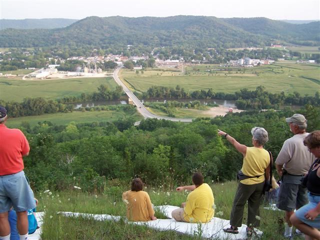
Among other parts of southeastern Minnesota, the county is in the Driftless Zone, marked by the absence of glacial drift and presence of bedrock cut by streams into steep hills. The plateau that surrounds Caledonia, the county seat, includes flat, fertile farm land and hilly, verdant pasture land.
Lakes
The following lakes are located within the Upper Mississippi River National Wildlife and Fish Refuge.
Adjacent counties
National protected area
Demographics
As of the census of 2000, there were 19,718 people, 7,633 households, and 5,411 families residing in the county. The population density was 35 people per square mile (14/km²). There were 8,168 housing units at an average density of 15 per square mile (6/km²). The racial makeup of the county was 98.47% White, 0.31% Black or African American, 0.18% Native American, 0.37% Asian, 0.02% Pacific Islander, 0.14% from other races, and 0.51% from two or more races. 0.61% of the population were Hispanic or Latino of any race. 43.1% were of German, 29.6% Norwegian and 7.5% Irish ancestry.
There were 7,633 households out of which 34.4% had children under the age of 18 living with them, 60.0% were married couples living together, 7.4% had a female householder with no husband present, and 29.1% were non-families. 25.4% of all households were made up of individuals and 12.0% had someone living alone who was 65 years of age or older. The average household size was 2.53 and the average family size was 3.05.
In the county, the population was spread out with 27.2% under the age of 18, 6.8% from 18 to 24, 26.8% from 25 to 44, 23.1% from 45 to 64, and 16.0% who were 65 years of age or older. The median age was 39 years. For every 100 females there were 97.5 males. For every 100 females age 18 and over, there were 95.1 males.
The median income for a household in the county was $40,680, and the median income for a family was $49,196. Males had a median income of $32,557 versus $22,158 for females. The per capita income for the county was $18,826. About 4.2% of families and 6.5% of the population were below the poverty line, including 6.4% of those under age 18 and 11.2% of those age 65 or over.