
Country United States Elevation 241 m Local time Friday 2:02 PM | GNIS feature ID 0453919 Area 94.25 km² Population 1,235 (2010) | |
 | ||
Weather 7°C, Wind N at 14 km/h, 94% Humidity | ||
Union Township is one of twelve townships in Huntington County, Indiana, United States. As of the 2010 census, its population was 1,235 and it contained 490 housing units.
Contents
- Map of Union Township IN USA
- History
- Geography
- Cities and towns
- Unincorporated towns
- Adjacent townships
- Cemeteries
- Major highways
- References
Map of Union Township, IN, USA
History
Union Township was originally called Monroe Township, and under the latter name was organized in 1842. It was renamed Union Township in 1845.
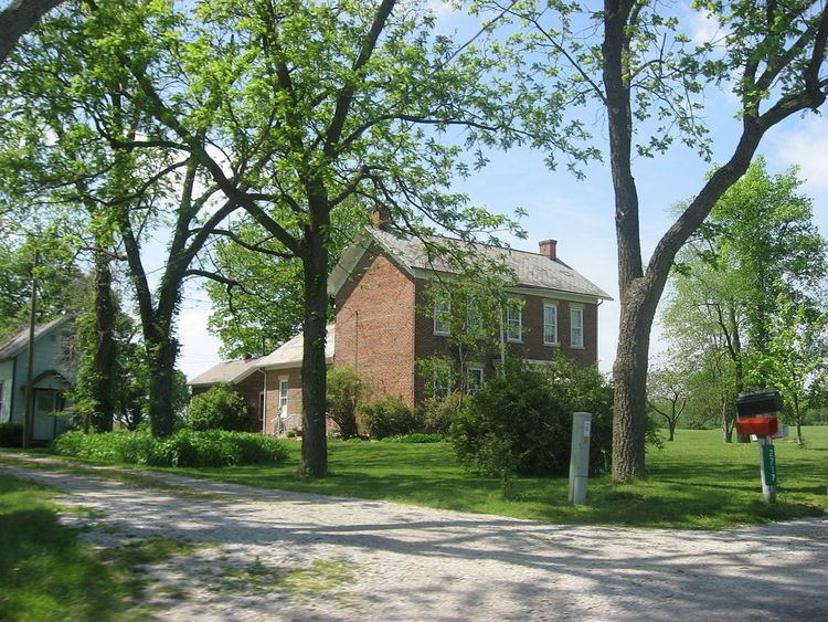
The John and Minerva Kline Farm was listed on the National Register of Historic Places in 1988.
Geography
According to the 2010 census, the township has a total area of 36.39 square miles (94.2 km2), of which 35.72 square miles (92.5 km2) (or 98.16%) is land and 0.68 square miles (1.8 km2) (or 1.87%) is water.
Cities and towns
Unincorporated towns
Adjacent townships
Cemeteries
The township contains one cemetery, Feighner.
Major highways
References
Union Township, Huntington County, Indiana Wikipedia(Text) CC BY-SA