
Country United States Elevation 239 m Local time Friday 10:52 PM | GNIS feature ID 0453450 Area 95.44 km² Population 4,043 (2010) | |
 | ||
Weather 3°C, Wind SW at 6 km/h, 99% Humidity | ||
Jackson Township is one of twelve townships in Huntington County, Indiana, United States. As of the 2010 census, its population was 4,043 and it contained 1,704 housing units.
Contents
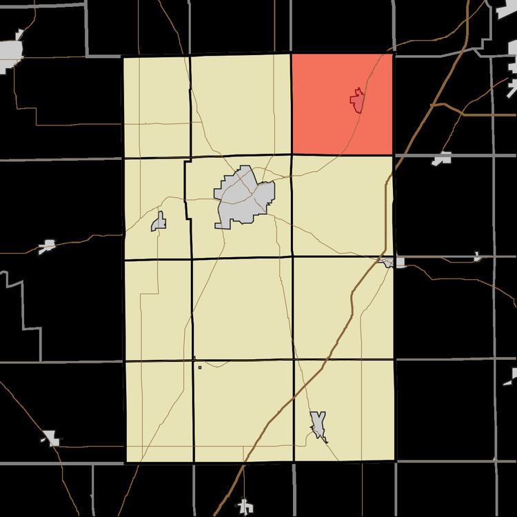
- Map of Jackson Township IN USA
- History
- Geography
- Cities and towns
- Unincorporated towns
- Adjacent townships
- Cemeteries
- Major highways
- Airports and landing strips
- References
Map of Jackson Township, IN, USA
History
Jackson Township was organized in 1841.
Geography
According to the 2010 census, the township has a total area of 36.85 square miles (95.4 km2), of which 36.41 square miles (94.3 km2) (or 98.81%) is land and 0.44 square miles (1.1 km2) (or 1.19%) is water.
Cities and towns
Unincorporated towns
Adjacent townships
Cemeteries
The township contains two cemeteries: France and Union.
Major highways
Airports and landing strips
References
Jackson Township, Huntington County, Indiana Wikipedia(Text) CC BY-SA