
Country United States Elevation 241 m Local time Friday 2:11 PM | GNIS feature ID 453938 Area 91.3 km² Population 2,138 (2010) | |
 | ||
ZIP codes 46750, 46770, 46777, 46783, 46791, 46798, 46799 Weather 8°C, Wind NW at 18 km/h, 91% Humidity | ||
Union Township is one of nine townships in Wells County, Indiana, United States. As of the 2010 census, its population was 2,138 and it contained 799 housing units.
Contents
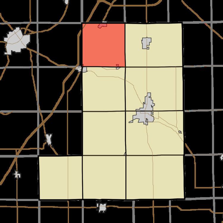
- Map of Union Township IN USA
- Geography
- Cities towns villages
- Adjacent townships
- Cemeteries
- School districts
- Political districts
- References
Map of Union Township, IN, USA
Geography
According to the 2010 census, the township has a total area of 35.25 square miles (91.3 km2), of which 35.01 square miles (90.7 km2) (or 99.32%) is land and 0.24 square miles (0.62 km2) (or 0.68%) is water.
Cities, towns, villages
Adjacent townships
Cemeteries
The township contains these four cemeteries: Hoverstock, Saint Johns, Uniontown and Old Uniontown.
School districts
Political districts
References
Union Township, Wells County, Indiana Wikipedia(Text) CC BY-SA