
Country United States GNIS feature ID 453912 Local time Friday 1:59 PM | FIPS code 18-77228 Elevation 268 m Population 13,220 (2010) | |
 | ||
Weather 5°C, Wind N at 14 km/h, 92% Humidity Area 45.97 km² (45.95 km² Land / 3 ha Water) | ||
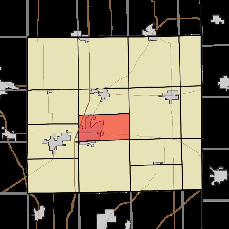
Union Township is one of fifteen townships in DeKalb County, Indiana. As of the 2010 census, its population was 13,220 and it contained 5,886 housing units.
Contents
- Map of Union Township IN 46706 USA
- History
- Geography
- Cities and towns
- Adjacent townships
- Major highways
- Cemeteries
- References
Map of Union Township, IN 46706, USA
History
Union Township was organized in 1837.
Geography
According to the 2010 census, the township has a total area of 17.75 square miles (46.0 km2), of which 17.74 square miles (45.9 km2) (or 99.94%) is land and 0.01 square miles (0.026 km2) (or 0.06%) is water.
Cities and towns
Adjacent townships
Major highways
Cemeteries
The township contains seven cemeteries: Cosper, Catholic, Evergreen, Mott, Old Auburn, Roselawn and Woodlawn.
References
Union Township, DeKalb County, Indiana Wikipedia(Text) CC BY-SA