
Country United States GNIS feature ID 453908 Local time Friday 1:56 PM | FIPS code 18-77156 Elevation 283 m Population 2,357 (2010) | |
 | ||
Weather 7°C, Wind NW at 16 km/h, 95% Humidity Area 65.14 km² (65.03 km² Land / 10 ha Water) | ||
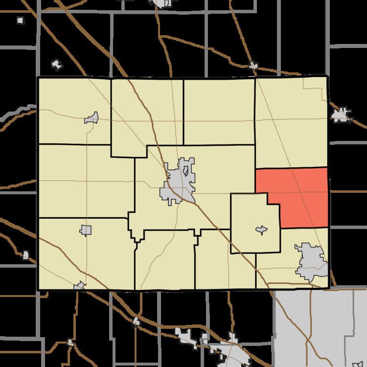
Union Township is one of twelve townships in Boone County, Indiana. As of the 2010 census, its population was 2,357 and it contained 864 housing units.
Contents
- Map of Union Township IN USA
- History
- Geography
- Unincorporated towns
- Adjacent townships
- Major highways
- References
Map of Union Township, IN, USA
History
The Simpson-Breedlove House was listed on the National Register of Historic Places in 2016.
Geography
According to the 2010 census, the township has a total area of 25.15 square miles (65.1 km2), of which 25.11 square miles (65.0 km2) (or 99.84%) is land and 0.04 square miles (0.10 km2) (or 0.16%) is water.
Unincorporated towns
Adjacent townships
Major highways
References
Union Township, Boone County, Indiana Wikipedia(Text) CC BY-SA