
Country United States GNIS feature ID 0453209 Population 83,293 (2010) | Elevation 843 ft (257 m) Local time Monday 4:51 PM | |
 | ||
Weather 12°C, Wind S at 18 km/h, 92% Humidity Points of interest The Waterpark at the Mo, West Park, Founders Park, Flowing Well Park, Prairie View Golf Club | ||
Clay Township is one of nine townships in Hamilton County, Indiana, United States. As of the 2010 census, its population was 83,293 and it contained 32,375 housing units.
Contents
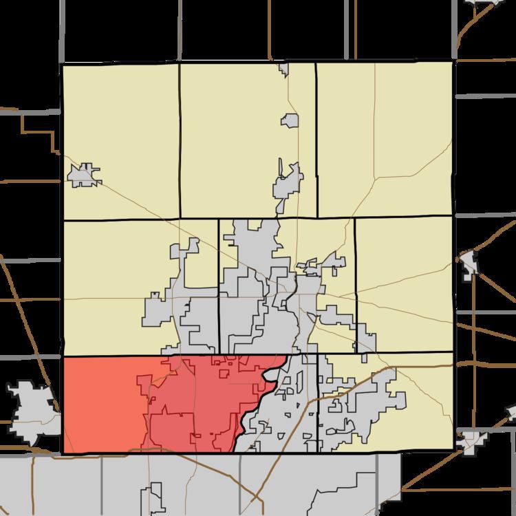
- Map of Clay Township IN USA
- History
- Geography
- Cities and towns
- Unincorporated towns
- Adjacent townships
- Cemeteries
- Major highways
- References
Map of Clay Township, IN, USA
History
Clay Township was organized in 1833.
Micah Newby House was listed on the National Register of Historic Places in 1986.
Geography
According to the 2010 census, the township has a total area of 50.18 square miles (130.0 km2), of which 49.09 square miles (127.1 km2) (or 97.83%) is land and 1.09 square miles (2.8 km2) (or 2.17%) is water. The streams of Almond Ditch, Ams Run, Blue Woods Creek, Boone Creek, Center Creek, Clay Creek, Cool Creek, Elliot Creek, Lily Vestal Drain, Henley Creek, Highway Run, Hot Lick Creek, Kirkendall Creek, Lion Creek, Little Cool Creek, Long Branch, Mitchener Ditch, Spring Mill Run, Well Run, Will Creek, and Witt Creek run through this township.
Cities and towns
Unincorporated towns
(This list is based on USGS data and may include former settlements.)
Adjacent townships
Cemeteries
The township contains six cemeteries: Calvary, Carmel, Farley, Pleasant Grove, Poplar Ridge and White Chapel.