
Country United States GNIS feature ID 453603 Local time Monday 12:15 AM | FIPS code 18-46854 Elevation 290 m Population 1,233 (2010) | |
 | ||
Weather -2°C, Wind E at 13 km/h, 52% Humidity Area 119 km² (119 km² Land / 3 ha Water) | ||
Marion Township is one of twelve townships in Boone County, Indiana. As of the 2010 census, its population was 1,233 and it contained 506 housing units.
Contents
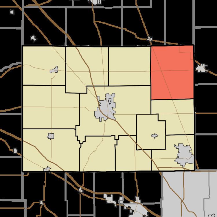
- Map of Marion Township IN USA
- Geography
- Unincorporated towns
- Adjacent townships
- Major highways
- Cemeteries
- References
Map of Marion Township, IN, USA
Geography
According to the 2010 census, the township has a total area of 45.94 square miles (119.0 km2), of which 45.93 square miles (119.0 km2) (or 99.98%) is land and 0.01 square miles (0.026 km2) (or 0.02%) is water.
Unincorporated towns
Adjacent townships
Major highways
Cemeteries
The township contains two cemeteries: Bethel and Parr-Jones.
References
Marion Township, Boone County, Indiana Wikipedia(Text) CC BY-SA