
Country United States GNIS feature ID 453269 Local time Thursday 3:25 PM University Harrison College | FIPS code 18-19288 Elevation 279 m Population 21,977 (2010) | |
 | ||
Weather 16°C, Wind NW at 6 km/h, 34% Humidity Points of interest Mulberry Fields, Carter Toy Museum, Starkey Park, Creekside Nature Park, Elm Street Green | ||
Eagle Township is one of twelve townships in Boone County, Indiana. As of the 2010 census, its population was 21,977 and it contained 8,231 housing units.
Contents
- Map of Eagle Township IN USA
- History
- Geography
- Cities and towns
- Unincorporated towns or communities
- Adjacent townships
- Major highways
- Cemeteries
- References
Map of Eagle Township, IN, USA
History
Pryor Brock Farmstead, Maplelawn Farmstead, Traders Point Eagle Creek Rural Historic District, and Traders Point Hunt Rural Historic District are listed on the National Register of Historic Places.
Geography
According to the 2010 census, the township has a total area of 26.73 square miles (69.2 km2), of which 26.65 square miles (69.0 km2) (or 99.70%) is land and 0.09 square miles (0.23 km2) (or 0.34%) is water.
Cities and towns
Unincorporated towns or communities
(This list is based on USGS data and may include former settlements.)
Adjacent townships
Major highways
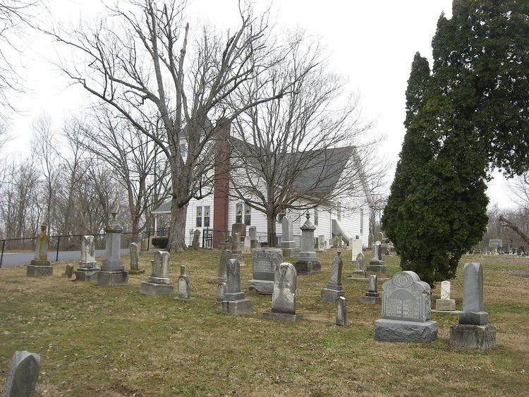
Cemeteries
The township contains six cemeteries: Clarkstown, Cox, Jones, Lincoln Memory Gardens, Pitzer, Salem and Sheets.
References
Eagle Township, Boone County, Indiana Wikipedia(Text) CC BY-SA