
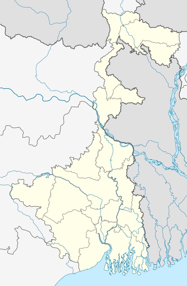
Country India District Murshidabad PIN 742201 Population 32,134 (2001) | State West Bengal Time zone IST (UTC+5:30) ISO 3166 code IN-WB | |
 | ||
Weather 31°C, Wind W at 8 km/h, 33% Humidity | ||
Aurangabad is a census town in Murshidabad district in the Indian state of West Bengal. It is an urban unit in Suti — II community development bloc, which is part of Jangipur subdivision of the district. The police station is Suti, which is the police station for Suti — I and Suti — II blocs.
Contents
Currently, Aurangabad is assembly constituency No. 51 of West Bengal; later as recommendations of Delimitation Commission are implemented, this area will be part of new assembly constituency No. 57, Suti, which will contain the whole area under Suti — II bloc.
Geography
Aurangabad is located at 24.61°N 88.06°E / 24.61; 88.06.
Demographics
As of 2001 India census, Aurangabad had a population of 32,134. Males constitute 50% of the population and females 50%. Aurangabad has an average literacy rate of 44%, lower than the national average of 59.5%: male literacy is 52%, and female literacy is 36%. In Aurangabad, 19% of the population is under 6 years of age.
Education
Dukhulal Nibaran Chandra College of Aurangabad is recognized by UGC.
Industry
Aurangabad is noted for its Beedi industry.
Healthcare
Aurangabad has a Primary Health Centre (PHC).