
Elevation 211 m Local time Monday 12:19 AM | GNIS feature ID 0453610 Area 93.08 km² Population 916 (2010) | |
 | ||
ZIP codes 47427, 47431, 47455, 47460, 47833, 47841 Weather 0°C, Wind E at 10 km/h, 45% Humidity | ||
Marion Township is one of thirteen townships in Owen County, Indiana, United States. As of the 2010 census, its population was 916 and it contained 464 housing units.
Contents
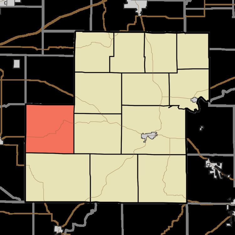
- Map of Marion Township IN USA
- History
- Geography
- Unincorporated towns
- Cemeteries
- School districts
- Political districts
- References
Map of Marion Township, IN, USA
History
Marion Township was founded in 1835.
Geography
According to the 2010 census, the township has a total area of 35.94 square miles (93.1 km2), of which 35.87 square miles (92.9 km2) (or 99.81%) is land and 0.07 square miles (0.18 km2) (or 0.19%) is water.
Unincorporated towns
(This list is based on USGS data and may include former settlements.)
Cemeteries
The township contains these eight cemeteries: Burger Cemetery, Humble Cemetery (a Indiana Pioneer Cemetery,) Marion Cemetery, Mast Cemetery, Rea Cemetery, Red Brush Cemetery, Stephens Cemetery and Steubenville Cemetery.
School districts
Political districts
References
Marion Township, Owen County, Indiana Wikipedia(Text) CC BY-SA