
County Clay FIPS code 18-02332 Elevation 186 m Local time Sunday 7:50 AM | State Indiana GNIS feature ID 449615 Zip code 47840 | |
 | ||
Weather -6°C, Wind SE at 8 km/h, 79% Humidity | ||
Ashboro is an unincorporated community in Sugar Ridge Township, Clay County, Indiana. It is part of the Terre Haute Metropolitan Statistical Area.
Contents
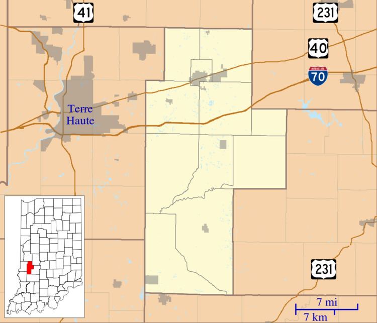
Map of Ashboro, IN 47840, USA
History
Ashboro was founded in 1858. It was named after Asheboro, North Carolina.
A post office was established at Ashboro in 1858, and remained in operation until it was discontinued in 1918. The post office was officially spelled Ashborough in early years.
Geography
Ashboro is located at 39°23′56″N 87°06′21″W.
References
Ashboro, Indiana Wikipedia(Text) CC BY-SA