
Country United States GNIS feature ID 453988 Area 95.13 km² Population 780 (2010) | FIPS code 18-80468 Elevation 203 m Local time Saturday 11:28 PM | |
 | ||
Weather 12°C, Wind SE at 13 km/h, 49% Humidity | ||
Washington Township is one of eleven townships in Clay County, Indiana. As of the 2010 census, its population was 780 and it contained 335 housing units.
Contents
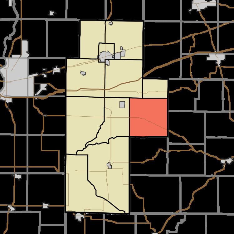
- Map of Washington Township IN USA
- History
- Geography
- Unincorporated towns
- Adjacent townships
- Major highways
- Cemeteries
- References
Map of Washington Township, IN, USA
History
Indiana State Highway Bridge 46-11-1316 was listed on the National Register of Historic Places in 2000.
Geography
According to the 2010 census, the township has a total area of 36.73 square miles (95.1 km2), all land.
Unincorporated towns
(This list is based on USGS data and may include former settlements.)
Adjacent townships
Major highways
Cemeteries
The township contains six cemeteries: Fairview, Funk, Killion, Sixmile, Snoddy and Zenor.
References
Washington Township, Clay County, Indiana Wikipedia(Text) CC BY-SA