
West end: Appleby Line | Towns: MiltonHalton Hills | |
 | ||
Steeles Avenue John Street/14th Avenue; Highway 7; Queen Street → | ||
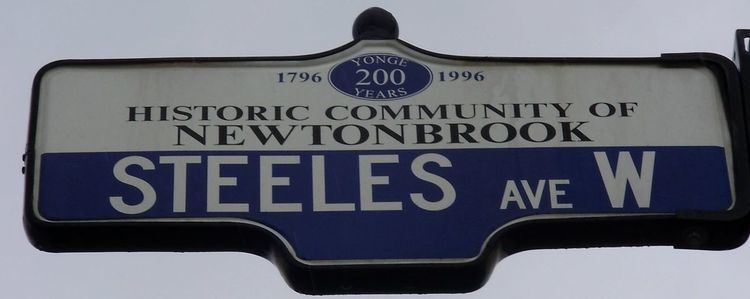
Steeles Avenue is an east-west street that forms the northern city limit of Toronto and the southern limit of York Region, Ontario, Canada. It stretches across the western and central Greater Toronto Area from Appleby Line, in the Town of Milton east to the Toronto/Pickering limits where it changes its name to Taunton Road, which itself extends 58.8 km (36.5 mi) across the length of Durham Region to the Northumberland County line. It runs for 38.75 km (24.08 mi) within Toronto, between Albion Road and Scarborough-Pickering Townline. It is named after J. C. Steele, who owned the Green Bush Hotel on the northwest corner of the street's intersection with Yonge Street. York Region refers to Steeles Avenue as Regional Road 95, but as the designation is strictly internal, there is no official signage indicating this. Steeles in Scarborough was once referred to as Scarborough Town Line.
Contents
- Map of Steeles Ave Halton Hills ON Canada
- Route description
- Public transit
- Canadian Automobile Association rating
- Landmarks
- References
Map of Steeles Ave, Halton Hills, ON, Canada
The combination of Steeles and Taunton Road is the only non-freeway road to cross almost the entire Greater Toronto Area without breaks or turnoffs.
Route description
Steeles Avenue is a two-lane rural road east of York Regional Road 69 (Ninth Line). It becomes a four lane suburban road with bicycle lanes on each side from Kennedy Road to Markham Road, six lanes from Kennedy to Victoria Park Avenue, and eight lanes from Victoria Park to Highway 404. The area consists of parklands in the east end, a mix of commercial and residential in the middle, and industrial zonings near the west end. Like many other east-west arterial roads within Toronto and York Region, Steeles is divided into an east and west segment by Yonge Street.
East of Scarborough-Pickering Town Line / York-Durham Line, it becomes Taunton Road or Durham Regional Road 4.
West of Albion Road, Steeles Avenue continues into Peel Region, where it is also designated as Peel Regional Road 15. Like the section in Toronto, Steeles Avenue in Brampton has east-west segments, this time on either side of Hurontario Street (former Highway 10). It runs through Brampton and into Halton Region, where it is also designated as Halton Regional Road 8, through the town of Milton, ending at Appleby Line. Originally, the road had a second section west of the height of the Niagara Escarpment (the location of the Crawford Lake Conservation Area), which ran from just east of Guelph Line west to the Milborough Townline on the boundary between Milton and Hamilton, but this section was renamed to Conservation Road and is thus no longer part of Steeles.
Public transit
The road is served predominantly by TTC bus routes 53 Steeles East and 60 Steeles West. Both routes turn away from Steeles upon approaching Yonge Street. There are several routes serving the portions of the road, including 7 Bathurst, 17B and 17C Birchmount, 25 Don Mills, 35A, 35B and 35C Jane, 37B Islington, 41A and 41B Keele, 43A Kennedy, 51 Leslie, 57 Midland, 97B, 97C and 97F Yonge, 98A and 98C Willowdale-Senlac, 102B and 102C Markham Road, 105C Dufferin North, 117A and 117B Alness, 165A, 165D and 165F Weston Road North, 191B and 191C Highway 27 Rocket, 185 Don Mills Rocket, and 195 Jane Rocket. York Region Transit routes that run along Steeles include 3 (York University), 10, 88, 12, and 27 (Highway 27).
Work is underway to extend Line 1 Yonge–University through York University and into Vaughan, which will include a station to be called Pioneer Village at Steeles Avenue. MoveOntario 2020 also includes plans to extend the Yonge Line north and add a station at Yonge and Steeles.
In Peel Region, Brampton Transit and MiWay of Mississauga operate several routes that travel along Steeles:
Brampton
Mississauga
Mississauga Transit routes and Brampton Transit routes (3, 4, 4A, 8, 11, 51, 52, 53A and 53B) connect to Shoppers World Terminal at Shoppers World Mall at the northwest corner of Main Street South and Steeles Avenue West. Steeles Avenue East will be made the third arterial for Brampton's Züm bus rapid transit.
In Halton Region, Milton Transit operates a single route on a short stretch of Steeles Avenue:
Canadian Automobile Association rating
Steeles Avenue was listed by the CAA as the "worst road in Ontario" for 2006, and as the fifth worst road in October 2007. In October 2008, it was again crowned the worst road in Ontario. Reasons include potholes and general quality of surface. Soon after the results of CAA's survey were made public, some parts of the road between Dufferin Street and Bayview Avenue were resurfaced. The results of the 2009 survey listed Steeles as Ontario's worst road, for the second year in a row.
However, in 2010, Steeles Avenue was resurfaced from Yonge Street to Markham Road, with the funds coming from the federal infrastructure stimulus program, and the CAA named it the "Best Road in Ontario".
Landmarks
Landmarks and notable sites along Steeles from west to east