
Population 543 (2006 census) State electorate(s) Goyder Postal code 5582 Federal division Division of Grey | Postcode(s) 5582 Stansbury Gulf St Vincent Local time Sunday 11:25 AM | |
 | ||
Location 204 km (127 mi) W of Adelaide
116 km (72 mi) S of Kadina
25 km (16 mi) SE of Minlaton LGA(s) Yorke Peninsula Council Weather 23°C, Wind E at 13 km/h, 73% Humidity | ||
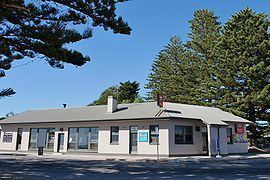
Stansbury (postcode 5582) is a small town, located in the southern east coast of Yorke Peninsula, South Australia. At the 2011 census, Stansbury had a population of 543. It is located 25 kilometres (16 mi) south of Minlaton and 22 kilometres (14 mi) east of Yorketown. It faces the Gulf St Vincent across Oyster Bay, where shellfish were originally harvested in the 19th century. The town has also been a port used in the export of wheat and barley to Adelaide. There is a country-style market which runs each Sunday, and was the first of its kind within the Yorke Peninsula region.
Contents
Map of Stansbury SA 5582, Australia
Name
The town was originally known as Oyster Bay, although it was officially proclaimed Stansbury in 1873 by Governor Anthony Musgrave, in honour of a friend.
References
Stansbury, South Australia Wikipedia(Text) CC BY-SA