
 | ||
Bride stones moor a south pennines walk
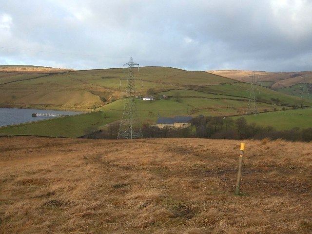
The South Pennines is a region of moorland and hill country in Northern England lying towards the southern end of the Pennines. In the west it includes the Forest of Rossendale and the West Pennine Moors. It is bounded by the Greater Manchester conurbation in the west and the Yorkshire Dales to the north. To the east it is fringed by the towns of West and South Yorkshire whilst to the south it is often considered to end at the northern edge of the Peak District national park.
Contents
National character area
The Southern Pennines National Character Area defined by Natural England includes the West Pennine Moors and is a landscape of broad moorland, flat-topped hills and fields enclosed by dry stone walls. It is formed from the Millstone Grit and Coal Measures of the Carboniferous age. Settlements built from local gritstone occupy river valleys with wooded sides. Peat soils and blanket bog on the moors store carbon while high rainfall fills many reservoirs supplying water to the adjacent conurbations. The area is important for recreation having open access areas, footpaths and historic packhorse routes.
Geography
Settlements within the South Pennines include Addingham, Ilkley and Otley in the north, Bingley, Keighley, Haworth and Oxenhope, Halifax, Sowerby Bridge, Hebden Bridge and Todmorden in the Calder Valley, Marsden in the south-east, Darwen, Haslingden and Rawtenstall in Lancashire, and Horwich, Ramsbottom and Littleborough in Greater Manchester.
Moorland in the South Pennines includes Rombalds Moor, Rishworth Moor, Haworth Moor, Turton Moor and Castleshaw Moor. The highest point of the M62 motorway, the highest motorway in England, is at 1,221 feet (372 m) on Windy Hill near Junction 23.
The rivers Aire, Calder and Colne drain the area to the east and the Roch and Irwell to the west. The Calder Valley provides a low-level route for road, railway and the Rochdale Canal between Greater Manchester and Lancashire in the west and West Yorkshire to the east. The Huddersfield Narrow Canal and the Manchester to Huddersfield railway pass through the Standedge Tunnels and the A62 road crosses the moorland at Standedge. The Leeds and Liverpool Canal passes through Bingley and Keighley on route to Skipton.
Natural England describes the South Pennine moorlands as the Watershed Landscape where the area's high rainfall fills a multitude of reservoirs. The South Pennines and its fringe has a population of more than a million people. Woodland covers about 4% of the terrain mostly on steep valley sides.
History
The South Pennines provide evidence of Mesolithic, the late Bronze Age and Iron Age findings. The Romans built roads and built forts in Ilkley and at Castleshaw. They also dug coal which was further exploited especially during the Industrial Revolution in the late 18th and early 19th centuries.
Steep-sided valleys with fast flowing streams provided power and water for the area's early mills and factories. Water-powered corn mills and fulling mills were use in medieval times and more fulling mills were built after the mid-16th century as the woollen industry grew. At the end of the 18th century, water powered mills were vital for industrial expansion of the textile industry, initially for spinning cotton, but subsequently for woollens and worsteds.
Tourism
Walking, mountain-biking and horseriding are common pastimes enjoyed in the area. Numerous walking trails have been established including, amongst many others, the Calderdale Way and the Bronte Way. The long-established Pennine Way passes through the area. The South Pennines Walk & Ride Festival which takes place annually in September is a two-week celebration of the area's landscape. Typical events include guided walks, mountain bike rides, horse rides, orienteering events and evening talks by noted speakers.