Population 168 (2006 census) Postcode(s) 6566 Elevation 223 m Postal code 6566 | Established 1899 Founded 1899 Local time Thursday 9:57 AM | |
 | ||
Weather 26°C, Wind NE at 14 km/h, 72% Humidity | ||
Bejoording is a small town in the Wheatbelt region of Western Australia.
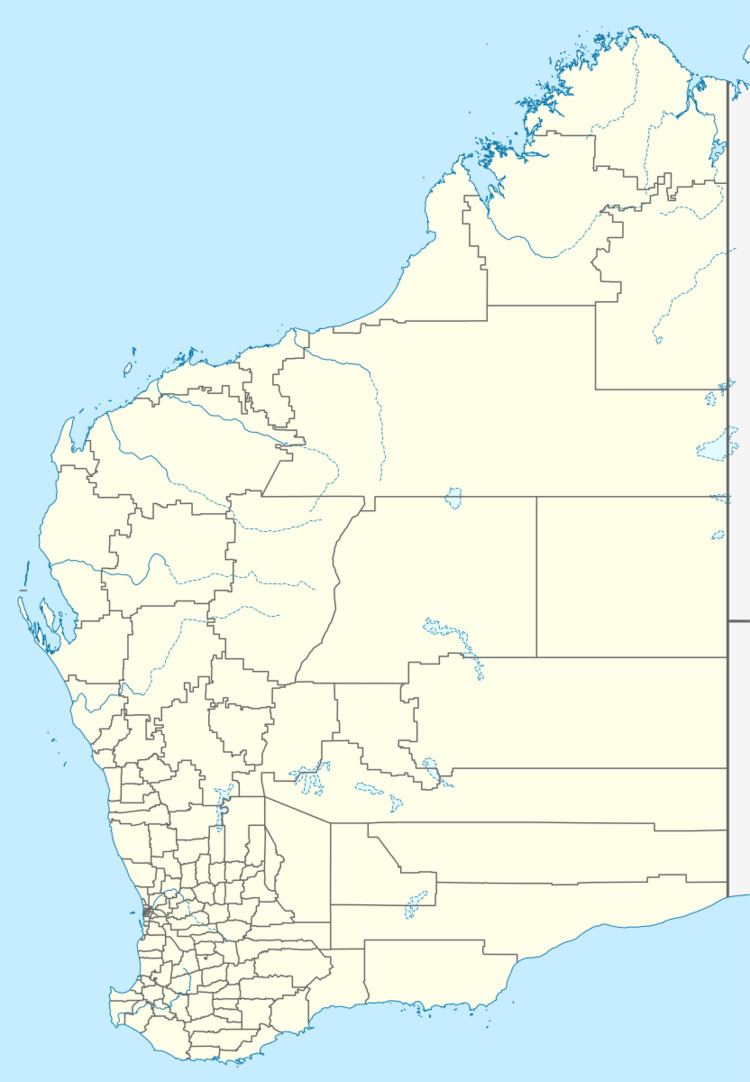
Map of Bejoording WA 6566, Australia
The first European to visit the area was George Fletcher Moore, who explored the area in 1836. Moore recorded the Aboriginal name of the area as Bejoording.
The land was earmarked to be developed as a townsite in 1839 and left vacant for that purpose. In 1856 the first lots were sold and the townsite was gazetted in 1899.
References
Bejoording, Western Australia Wikipedia(Text) CC BY-SA
