
Established 1908 Founded 1908 | Postcode(s) 6308 Elevation 320 m Postal code 6308 | |
 | ||
Location 178 km (111 mi) ESE of Perth20 km (12 mi) W of Pingelly Weather 29°C, Wind E at 16 km/h, 40% Humidity | ||
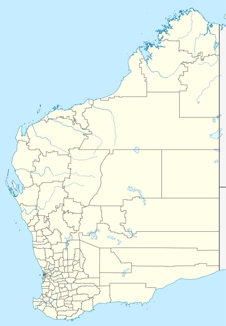
Dattening is a small town located between Boddington and Pingelly in the Wheatbelt region of Western Australia.
During the 1890s a farmer named Norris Taylor sunk a well in the locality and the area was initially known as Taylor's Well. By 1906 the local progress association petitioned for a townsite to be surveyed and blocks were subdivided in 1907. Blocks were sold in 1908 with 20 Working Men's blocks being put on the market with prices between £8 and £14. The name, Dattening, was suggested as an alternative to Taylor's Well after this name had been rejected since it duplicated the name of a town in South Australia. The Morambine Road Board suggested the name Dattening which was the Aboriginal name of a spring which is in the vicinity of the well. The meaning of the name is unknown. The town was gazetted in 1908.
The town residents petitioned for the name of the town to be changed to Taylor's Well in 1925 and 1929 but were unsuccessful on both occasions.