
District Bardhaman Area 135 km² Local time Wednesday 2:31 PM | Elevation 512 ft (156 m) Population 160,357 (2011) | |
 | ||
Weather 35°C, Wind N at 8 km/h, 35% Humidity | ||
Salanpur is a community development block that forms an administrative division in Asansol subdivision of Bardhaman district in the Indian state of West Bengal.
Contents
- Map of Salanpur West Bengal
- Geography
- Population
- Literacy
- Languages and religion
- Rural poverty
- Livelihood
- Infrastructure
- Coal mining
- Industry
- Agriculture
- Banking
- Transport
- Education
- Culture
- Healthcare
- References
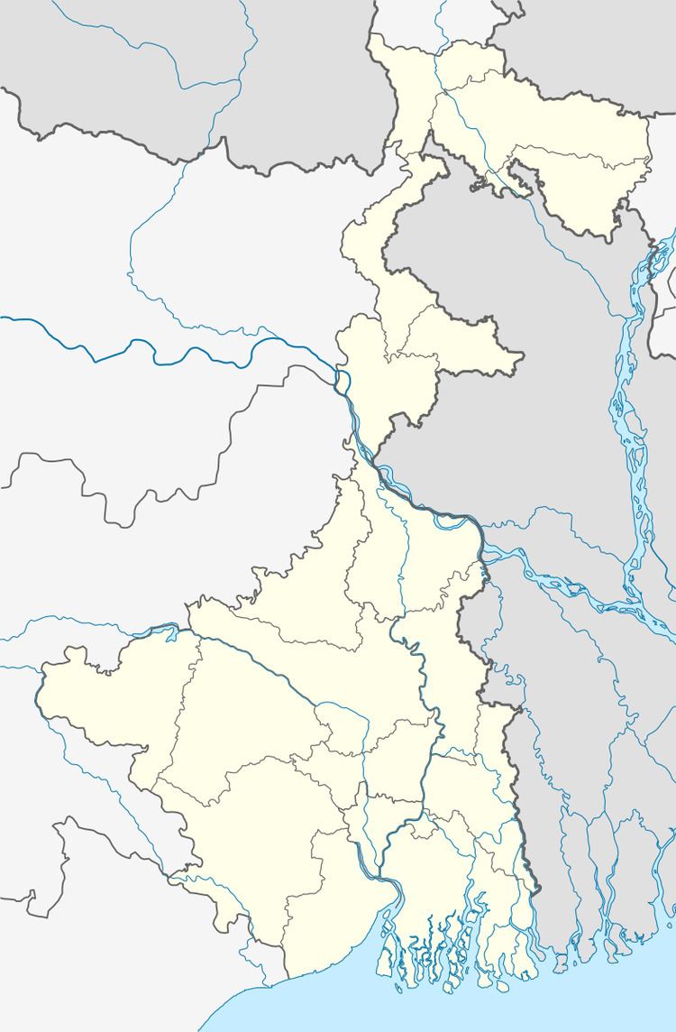
Map of Salanpur, West Bengal
Geography
Rupnarainpur, a gram panchayat in Salanpur CD Block, is located at 23°49′05″N 86°53′20″E.
Salanpur CD Block is part of the Ajay Damodar Barakar tract. This area is sort of an extension of the Chota Nagpur Plateau. It is a rocky undulating area with laterite soil, with the Ajay on the north, the Damodar on the south and the Barakar on the west. For ages the area was heavily forested and infested with plunderers and marauders. The discovery of coal, in the eighteenth century, led to industrialisation of the area and most of the forests have been cleared.
Salanpur CD Block is bounded by Jamtara and Nala CD Blocks, in Jamtara district of Jharkhand, on the north, Barabani CD Block on the east, Asansol (municipal corporation) and after that Neturia CD Block, in Purulia district, on the south and Nirsa and Baliapur CD Blocks, in Dhanbad district of Jharkhand, on the west.
It is located 134 km from Bardhaman, the district headquarters.
Salanpur CD Block has an area of 135.05 km2. It has 1 panchayat samity, 11 gram panchayats, 96 gram sansads (village councils), 74 mouzas and 69 inhabited villages. Chittaranjan and Salanpur police stations serve this block.Headquarters of this CD Block is at Rupnarayanpur.
Nunia, a small stream about 40 km long has its origin near Adra village in the Salanpur area, flows through the Barabani area, past Asansol and joins the Damodar in the Raniganj area.
Gram panchayats of Salanpur block/panchayat samiti are: Achhra, Alladi, Basudevpur-Jemari, Dendua, Ethora, Fulberia-Bolkunda, Jitpur-Uttarrampur, Kallya, Rupnarayanpur, Salanpur and Samdi.
Population
As per the 2011 Census of India Salanpur CD Block had a total population of 160,357, of which 101,360 were rural and 61,697 were urban. There were 83,796 (51%) males and 79,261 (49%) females. Population below 6 years was 17,118. Scheduled Castes numbered 39,294 (24.10%) and Scheduled Tribes numbered 17,084 (10.48%).
As per 2001 census, Salanpur block had a total population of 156,338, out of which 82,741 were males and 73,597 were females. Salanpur block registered a population growth of 9.64 per cent during the 1991-2001 decade. Decadal growth for Bardhaman district was 14.36 per cent.Decadal growth in West Bengal was 17.84 per cent.Scheduled castes at 35,898 formed around one-fifth the population. Scheduled tribes numbered 17,143.
Census Towns in Salanpur CD Block are (2011 census figures in brackets): Chittaranjan (39,098) and Hindusthan Cables Town (22,599).
Large villages (with 4,000+ population) in Salanpur CD Block are (2011 census figures in brackets): Salanpur (4,739), Jemari (4,321), Ethora (4,547) and Kalya (703).
Other villages in Salanpur CD Block include (2011census figures in brackets): Alladi (2,384), Dendua (2,297), Rupnarayanpur (2,242), Uttarrampur (1,331), Jitpur (1,532), Achhra (2,584), Phulberya (1,918), Bolkunda (1,351), Shyamdi (3,265) and Basudebpur (3,098).
Literacy
As per the 2011 census the total number of literates in Salanpur CD Block was 114,940 (78.76% of the population over 6 years) out of which males numbered 64,520 (86.12% of the male population over 6 years) and females numbered 50,420 (70.99% of the female population over 6 years). The gender disparity (the difference between female and male literacy rates) was 15.13%.
As per 2001 census, Salanpur block had a total literacy of 78.22 per cent for the 6+ age group. While male literacy was 87.07 per cent female literacy was 68.20 per cent. Bardhaman district had a total literacy of 70.18 per cent, male literacy being 78.63 per cent and female literacy being 60.95 per cent.
See also – List of West Bengal districts ranked by literacy rate
Languages and religion
Bengali is the local language in these areas.
In 2001 Bengali was the mother-tongue of 79.9% of the population of Bardhaman district, Hindi was the mother-tongue of 10.9%, Santali 4.9%, Urdu 2.8%, Bhojpuri 0.1% and Oraon 0.1%. There were other languages spoken by small percentages. The percentage of population which reported Bengali as mother-tongue has declined from 82.3% in 1961 to 79.9% in 2001, the percentage of population which reported Hindi as mother-tongue increased from 8.5% in 1961 to 10.9% in 2001. However, as of 2017, CD Block-wise/ other region-wise break-up of mother tongue is not available in census/ other official sources.
There have been reports in the media about the Hindi speaking population being substantial in the Asansol (Lok Sabha constituency).Bardhaman district provided attractive livelihood opportunities for immigrants from Bihar/ Jharkhand.
In the 2011 census Hindus numbered 153,776 and formed 94.31% of the population in Salanpur CD Block. Muslims numbered 5,825 and formed 3.57% of the population. Christians numbered 1,816 and formed 1.11% of the population. Others numbered 1,640 and formed 1.01% of the population.
Rural poverty
As per poverty estimates obtained from household survey for families living below poverty line in 2005, rural poverty in Salanpur CD Block was 24.27%.
Livelihood
In Salanpur CD Block in 2011, amongst the class of total workers, cultivators formed 4.49%, agricultural labourers 6.44%, household industry workers 2.22% and other workers 86.85%.
In Salanpur CD Block a large percentage of the total workers were engaged as ‘other workers’ and only a small percentage as cultivators or agricultural labourers. This is because Asansol subdivision is a colliery based industrial area, where a majority of the people are engaged in the secondary or tertiary sectors.
Infrastructure
All 74 or 100% of mouzas in Salanpur CD Block were electrified by 31 March 2014.
All 74 mouzas in Salanpur CD Block had drinking water facilities in 2013-14. There were 9 fertiliser depots, 3 seed stores and 32 fair price shops in the CD Block.
Coal mining
Coal mining in India first started in the Raniganj Coalfield. In 1774, John Sumner and Suetonius Grant Heatly of the British East India Company found coal near Ethora, presently in Salanpur CD Block.
Mohanpur open cast project in Salanpur Area of Eastern Coalfields is undergoing expansion to 2.5 million tones per year. Gourandi Extension In Salanpur Area of Eastern Coalfields has a mineable reerve of 15.44 million tonnes.
With extensive underground mining for many years, this area has been facing the problem of land subsidence. About 361 villages under the Raniganj and Salanpur coalfield areas are the victims of subsidence.
Industry
Chittaranjan Locomotive Works is one of the largest electric locomotive manfacturers in the world. Established in 1950, it produced steam locomotives up to 1972. It is named after the great Indian independence movement activist, Chittaranjan Das.
The Rupnarayanpur unit of Hindustan Cables was closed on 1 February 2017.Hindustan Cables was set up in 1952 at Rupnarayanpur. It later set up units at Hyderabad and Naini, Allahabad. Both the Rupnarayanpur and Hyderabad units, which produced polythene insulated jelly filled cables, had stopped producing in 2003, as BSNL and MTNL did not need such cables anymore.
Bhushan Steel signed an agreement wih the West Bengal government to set a 2 million tonne steel plant, with auxiliary facilities, at Salanpur, in 2007. The company expected to get around 2,500 acres of land acquired in the subsequent one year and start production in 2012.With growing resistance to land acquisition the state government was not able to make much headway.In 2012, Bhusan Steel put the project on hold.
Agriculture
Although the Bargadari Act of 1950 recognised the rights of bargadars to a higher share of crops from the land that they tilled, it was not implemented fully. Large tracts, beyond the prescribed limit of land ceiling, remained with the rich landlords. From 1977 onwards major land reforms took place in West Bengal. Land in excess of land ceiling was acquired and distributed amongst the peasants.Following land reforms land ownership pattern has undergone transformation. In 2013-14, persons engaged in agriculture in Salanpur CD Block could be classified as follows: bargadars 2.44%, patta (document) holders 37.94%, small farmers (possessing land between 1 and 2 hectares) 5.68%, marginal farmers (possessing land up to 1 hectare) 27.08% and agricultural labourers 26.86%.
In 2003-04 net cropped area in Salanpur CD Block was 4,681 hectares and the area in which more than one crop was grown was 946 hectares.
In 2013-14, Salanpur CD Block produced 17,215 tonnes of Aman paddy, the main winter crop, from 8,142 hectares. It also produced pulses.
Banking
In 2013-14, Salanpur CD Block had offices of 7 commercial banks and 2 gramin banks.
Transport
Salanpur CD Block has 6 originating/ terminating bus routes.
The Asansol-Patna section of the Howrah-Delhi main line passes through this CD Block. There are stations at Salanpur and Rupnarayanpur,
The Kolkata-Delhi NH 19 (old numbering NH 2) passes through this block.
State Highway 5 (West Bengal) running from Rupnarayanpur (in Bardhaman district) to Junput (in Purba Medinipur district) originates from this block.
Asansol-Chittaranjan road links to both NH 19 and Grand Trunk Road and thereafter it links to Jamtara in Jharkhand and from there to places such as Dumka and Karmatanr.
Education
In 2013-14, Salanpur CD Block had 75 primary schools with 10,260 students, 4 middle schools with 379 students, 6 high schools with 3,634 students and 9 higher secondary schools with 7,894 students. Salanpur CD Block had 1 general college with 1,411 students, 5 technical/ professional institution with 730 students and 274 institutions for special and non-formal education with 9,079 students.
Deshbandhu Mahavidyalaya was established at Chittaranjan in 1973, It is affiliated with the Kazi Nazrul University.
Culture
Kalyaneshwari Temple is a 500-year-old centre of Shakti worship. Legend has it that human sacrifices were offered at Kalyaneshwari in the remote past. The present temple, however, is not very old and was constructed by Panchakot Raj. The temple of Goddess Kalyaneshwari is believed to fulfill the wishes of childless women.
Healthcare
In 2014, Salanpur CD Block had 1 block primary health centre, 3 primary health centres, 2 medical institutions of central government/ PSUs and 2 private nursing homes with total 517 beds and 52 doctors (excluding private bodies). It had 13 family welfare sub centres. 10,229 patients were treated indoor and 117,995 patients were treated outdoor in the hospitals, health centres and subcentres of the CD Block.
Salanpur CD Block has a block primary health centre at Pithaikuri and primary health centres at Dabar and Parbatpur.