
Country District Bardhaman | ||
 | ||
Languages spoken Bengali, English | ||
Map of Raniganj
Raniganj is the South-Eastern neighbourhood in Asansol, in Asansol Sadar subdivision of Paschim Bardhaman district in the state of West Bengal, India.
Contents
- Map of Raniganj
- Satthin shareef raniganj jagdishpur sultanpur amethi up india by asharfuddin siddiqui
- Raniganj railway station heby rain fall in station 09 08 2016 04 35pm
- Geography
- Asansol Municipal Corporation
- Police station
- CD Block HQ
- Demographics
- Education
- Healthcare
- References
Satthin shareef raniganj jagdishpur sultanpur amethi up india by asharfuddin siddiqui
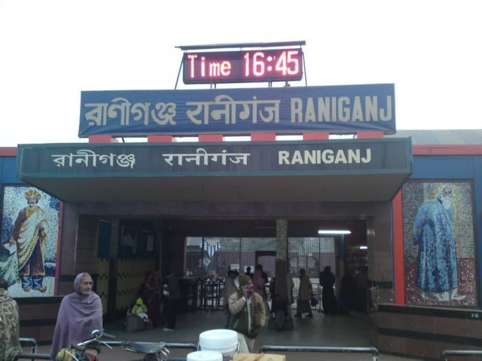
Raniganj railway station heby rain fall in station 09 08 2016 04 35pm
Geography
Raniganj is located at 23.62°N 87.13°E / 23.62; 87.13. It has an average elevation of 91 metres (298 feet).
The discovery of coal led to industrialisation of the area and most of the forests have been cleared.
Nunia, a small stream about 40 km (25 mi) long has its origin near Adra village in the Salanpur area, flows through the Barabani area and joins the Damodar in the Raniganj area.
Gram panchayats under Raniganj Panchayat Samiti are: Ratibati, Tirat, Egra, Amrasota, Jemari and Ballavpur.
Asansol Municipal Corporation
According to the Kolkata Gazette notification of 3 June 2015, the municipal areas of Kulti, Raniganj and Jamuria were included within the jurisdiction of Asansol Municipal Corporation.
Police station
Raniganj police station has jurisdiction over parts of Asansol municipal corporation/ Raniganj municipality. The area covered is 113.05 km2 and the population covered is 249,618.
CD Block HQ
The headquarters of Raniganj CD Block are located at Raniganj.
Demographics
As per the 2011 Census of India Raniganj municipal area had a total population of 129,441, of which 65,578 (52%) were males and 61,863 (48%) were females. Population below 6 years was 15,721. The total number of literates in Raniganj was 88,299 (87.85% of the population over 6 years).
As of 2001 India census, Raniganj had a population of 122,891. Males constitute 53% of the population and females 47%. Raniganj has an average literacy rate of 64%, higher than the national average of 59.5%: male literacy is 72%, and female literacy is 56%. In Raniganj, 11% of the population is under 6 years of age.
Education
Triveni Devi Bhalotia College was established in 1957 at Raniganj. It is affiliated with Kazi Nazrul Uinversity.
Raniganj Girls' College was established in 1980 at Raniganj. It is affiliated with Kazi Nazrul University. Marwari Sanatan Vidyalaya was established in 1912 at Raniganj. It is affiliated with WBBSE.
Healthcare
There is a block primary health centre at Ranigunj. Other hopitals at Raniganj include Marwari Relief Society Hospital and Anandlok Hospital.