
District Barddhaman Vehicle registration WB Population 3,865 (2001) | Time zone IST (UTC+5:30) Local time Saturday 3:08 AM | |
 | ||
Demonym(s) Asansolians / Asansolites/ Asansolbashi Weather 22°C, Wind S at 3 km/h, 91% Humidity | ||
Jemari is a suburb of Asansol, under Salanpur police station of Barddhaman district in the Indian state of West Bengal.
Contents
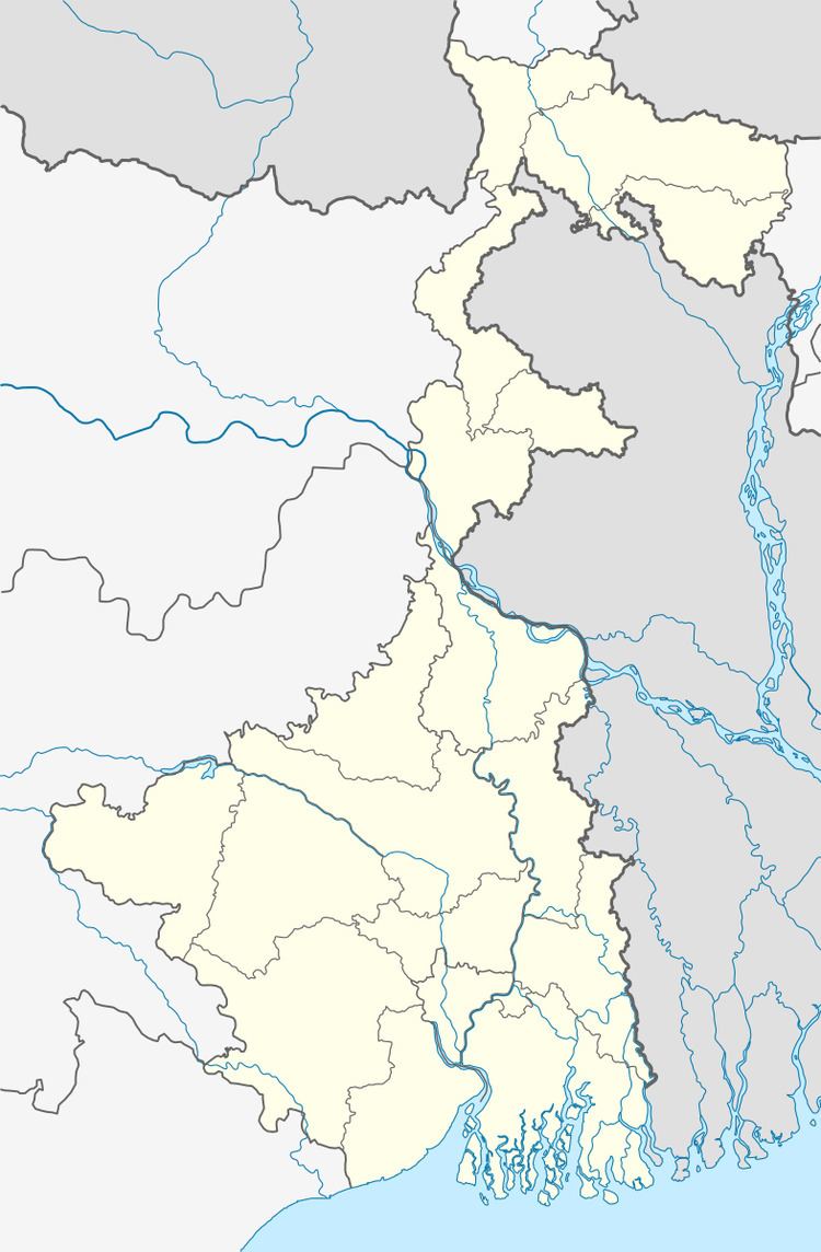
Map of Jemari, West Bengal
Geography
Jemari is located at 23°47′50″N 86°52′51″E.
Asansol is composed of undulating latterite soil. This area lies between two mighty rivers – the Damodar and the Ajay. They flow almost parallel to each other in the region – the average distance between the two rivers is around 30 km. For ages the area was heavily forested and infested with plunderers and marauders. The discovery of coal led to industrialisation of the area and most of the forests have been cleared. At the western fringe of the area the Barakar forms the boundary with Jharkhand.
Demographics
As of 2001 India census, Jemari had a population of 3,865. Males constitute 56% of the population and females 44%. Jemari has an average literacy rate of 53%, lower than the national average of 59.5%: male literacy is 63%, and female literacy is 41%. In Jemari, 15% of the population is under 6 years of age.
Education
Jemari has one primary school.