
Country Uganda Time zone EAT (UTC+3) Elevation 1,300 m | Website www.rubirizi.go.ug Area 994.8 km² | |
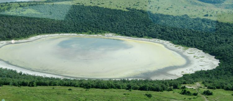 | ||
Hippos invade village in rubirizi district
Rubirizi District is a district in Western Uganda. Like most Ugandan districts, the district is named after its 'chief town', Rubirizi, where the district headquarters are located.
Contents
- Hippos invade village in rubirizi district
- Map of Rubirizi Uganda
- Location
- Overview
- Population
- References
Map of Rubirizi, Uganda
Location
Rubirizi District is bordered by Kasese District to the north, Kamwenge District to the northeast, Ibanda District to the east, Buhweju District to the southeast, Bushenyi District to the south, Rukungiri District to the southwest and the Democratic Republic of the Congo to the west. The district headquarters at Rubirizi are located approximately 90 kilometres (56 mi), by road, northwest of Mbarara, the largest city in Ankole sub-region. The coordinates of the district are:00 16S, 30 06E.
Overview
Rubirizi District was carved out of Bushenyi District in July 2010. Prior to then, the district was known as Bunyaruguru County. It is one of the districts that constitute Ankole sub-region, home to an estimated 2.2 million Banyankole, in 2002, according to the national census conducted that year. The full list of districts in the sub-region include: 1. Buhweju District 2. Bushenyi District 3. Ibanda District 4. Isingiro District 5. Kiruhura District 6. Mitooma District 7. Ntungamo District 8. Rubirizi District 9. Sheema District
About 50% of Queen Elizabeth National Park lies in Rubirizi District. The key tourist areas of the park found in the district include:
Population
In 1991, the national population census estimated the district population at about 75,400. The national census in 2002 estimated the population in the district at about 101,800. The Rubirizi District mid-year population in 2012 was estimated at 124,400.