
Country Uganda Time zone EAT (UTC+3) Area 2,724 km² | Website www.kasese.go.ug | |
 | ||
Points of interest Rwenzori Mountains, Queen Elizabeth National, Mount Speke, Mount Baker, Mount Gessi | ||
Kasese District is a district in Western Uganda. Like most other Ugandan districts. The town of Kasese is the site of the district headquarters.
Contents
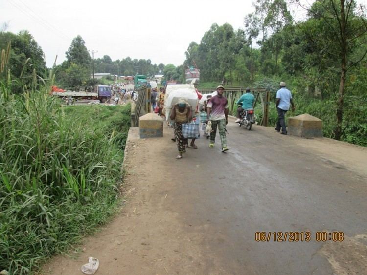
Map of Kasese, Uganda
Location
Kasese District is located along the equator. It is bordered by Kabarole District to the north, Kamwenge District to the east, Rubirizi District to the south, and the Democratic Republic of the Congo to the west. The district headquarters at Kasese are located approximately 359 kilometres (223 mi), by road, west of Kampala, Uganda's capital and largest city.
Overview
The district has a total land area of 2,724 square kilometres (1,052 sq mi), of which 885 square kilometres (342 sq mi) is reserved for Queen Elizabeth National Park and 652 square kilometres (252 sq mi) for Rwenzori Mountains National Park, leaving 1,187 square kilometres (458 sq mi) for human habitation and economic utilization. Kasese District is part of the Rwenzururu Kingdom, which is coterminus with the Rwenzururu sub-region, home to an estimated 750,000 inhabitants in 2002, according to the national census conducted that year. The sub region consists of Bundibugyo District, Ntoroko District, and Kasese District.
Population
In 1991, the district population was estimated at about 343,600. The 2002 national census put the population of the district at approximately 523,000. It is estimated that in 2012, the population of the district was approximately 747,800.
Ethnicities
Kasese is a multi-ethnic district with many people of different ethnic backgrounds. The main languages and ethnic groups that dominate the area are Rutooro and Rukonjo, the languages of the Batooro and the Bakonjo people respectively. However, there are other ethnic groups in the district who include the Banyankole, the Basongora and the Bakiga. There is also common usage of English, Swahili and Luganda.
Economic activities
Kasese district is mainly agricultural with over 85 percent of the people being peasant farmers who depend on subsistence farming for their livelihood. It has two rainy seasons that come between March to May and August to November. Temperatures normally range between 23°C and 30°C. Crops grown include:
Most of the agricultural produce is either sold locally or transported for sale in Kampala and to other cities and towns in Uganda. Fish farming is slowly taking root in the district and demand for the fish is high both locally and in neighboring countries. Livestock kept in the district includes: Cattle, goats, pigs and poultry. Fishing also occurs on Lake George and on smaller crater lakes in the district. There are two main landing sites on the shores of Lake George, Mahyoro and Kayinja.