
Time zone EAT (UTC+3) Area 2,656 km² | Website www.isingiro.go.ug | |
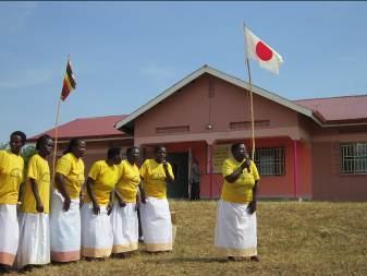 | ||
Fdc delivers food relief to drought stricken isingiro district
Isingiro District is a district in the Western Region of Uganda. The town of Isingiro is the district's main municipal, administrative, and commercial center.
Contents
- Fdc delivers food relief to drought stricken isingiro district
- Map of Isingiro Uganda
- Women at risk as water scarcity hits isingiro district
- Location
- Population
- Prominent people
- Sub Counties
- References
Map of Isingiro, Uganda
Women at risk as water scarcity hits isingiro district
Location
Isingiro District is bordered by Kiruhura District to the north, Rakai District to the east, Tanzania to the south, Ntungamo District to the west, and Mbarara District to the north-west. The town of Isingiro is approximately 35 kilometres (22 mi), by road, south-east of the city of Mbarara, the main metropolitan area in the Ankole sub-region.
Population
The 2014 national housing and population census estimated the population of Isingiro District at 486,360. In 2002, the population was recorded at approximately 316,000, while the 1991 national population census estimated the population at 226,400.
Prominent people
Prominent people from the district include:
Sub Counties
Bukanga County: - Rugaaga, Ngarama, Endinzi, Kashumba, Mbaare and Rushasha Isingiro County: - Nyakitunda, Nyamuyanja, Kabuyanda, Kikagate, Kabingo, Birere, Masha, Ruborogota, Kabuyanda (Town Council, Isingiro (Town Council) and Kaberebere (Town Council)