
From Tsuen Kam Interchange To Lam Kam Road Traditional Chinese 荃錦公路 Length 11,500 m | Inauguration Late 1940s Simplified Chinese 荃锦公路 | |
 | ||
Route twisk hk
Route Twisk is a steep and tortuous dual-lane road in Hong Kong, linking Tsuen Wan and Pat Heung via Shek Kong. It joins Kam Tin Road and Lam Kam Road north in Kam Tin, and ends in the Tsuen Kam Interchange south in Tsuen Wan.
Contents
Map of Rte Twisk, Hong Kong
Its name came from a misprint of its name in a construction project document Route TW/SK, meaning a road linking Tsuen Wan and Shek Kong. An alternative interpretation is Tsuen Wan Into Shek Kong.
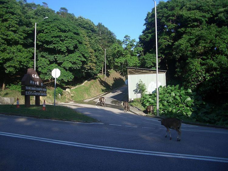
It is the only link to Tai Mo Shan Road, the road leading to Tai Mo Shan, the highest peak in Hong Kong. The last section of Stage 8 of the MacLehose Trail runs along Tai Mo Shan Road. Opposite this intersection is a car park, and the starting point of Stage 9 of the trail, which continues in a westerly direction. Because the road is steep with many bends, vehicles longer than 10 metres are prohibited.
History
In late 1940's, Route Twisk was built for military use. In early 1960s, Hong Kong Government sought successfully to acquire the road from the British forces and opened it to the public on 25 May 1961.
The road ended in Castle Peak Road in Tsuen Wan originally. It was shortened to Tsuen Kam Interchange for the construction of MTR Tsuen Wan Line.