
 | ||
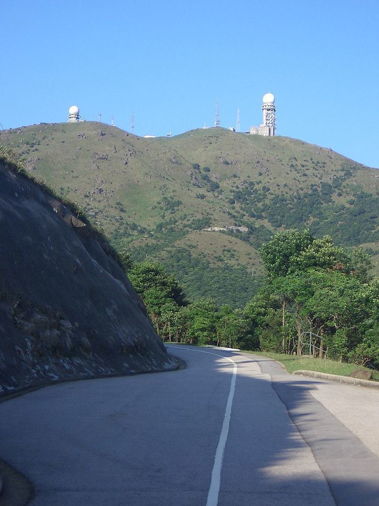
Tai Mo Shan Road (Chinese: 大帽山道) is a road in New Territories, Hong Kong. It originates from Route Twisk and leads to (but does not terminate at) the weather station at the top of Tai Mo Shan. Paved the whole way, the upper-most roughly 3 kilometres (1.9 mi) route is blocked by a manned barrier gate, and is hence inaccessible to cars. A carpark exists at this point. Bicycles are prohibited past this barrier, but pedestrians may continue to the top of the mountain. Then there is an enclosed restricted area in which lies at 957 metres (3,140 ft), Hong Kong's highest point, a Doppler weather radar, and communications equipment.
Map of Tai Mo Shan Rd, Tai Mo Shan, Hong Kong
Cows and oxen may be encountered along the length of the road. Several pull-off points exist along the road.
Until mid-2009, Stage 8 of the MacLehose Trail started at the road's intersection with Route Twisk, and ran along the entire section of Tai Mo Shan Road, and then continued towards Lead Mine Pass. The section of Stage 8 between Route Twisk and the car park now starts at the KMB bus stop on Route Twisk and is diverted to a nearby dirt track with steps so that hikers and motorists are segregated. However, the original route still forms part of the annual Oxfam Trailwalker to avoid confusion.