
Traditional Chinese 錦田 Jyutping gam2 tin4 Hanyu Pinyin Local time Saturday 3:57 PM | Hanyu Pinyin Traditional Chinese 錦田鄉 Jyutping gam2 tin4 hoeng1 | |
 | ||
Weather 22°C, Wind E at 29 km/h, 80% Humidity Points of interest Lam Tsuen Country Park, 二帝書院 Yi Tai Study Hall, 智趣樂園 Wiseland Adventure Restaurants Sawadee Thai Restaura, O Veg, Crazy February, Hsbc Atm Machine ‑ Kam Tin, Fungal Restaurant | ||
Kam tin apartment 4000 hkd month
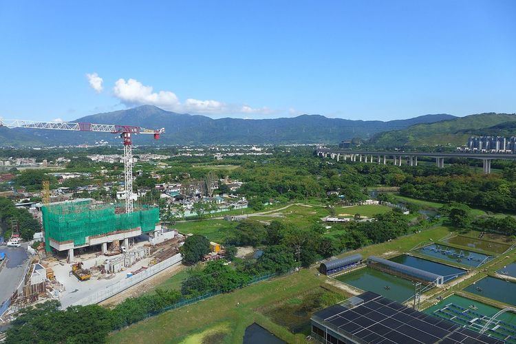
Kam Tin (Chinese: 錦田), or Kam Tin Heung (錦田鄉), is an area in the New Territories, Hong Kong. It lies on a flat alluvial plain north of Tai Mo Shan mountain and east of Yuen Long town. It was formerly known as Sham Tin (岑田). Administratively, it is part of Yuen Long District.
Contents
- Kam tin apartment 4000 hkd month
- Map of Kam Tin Hong Kong
- Jk cha cha tape ball cricket tournament kam tin hong kong
- History
- Features
- Transportation
- References
Map of Kam Tin, Hong Kong
Many of Kam Tin's residents are from the Tang Clan, who are of the Punti culture, not Hakka as is often misattributed.
Jk cha cha tape ball cricket tournament kam tin hong kong
History
Kam Tin is the origin of the biggest indigenous Tang Clan (鄧) in Hong Kong. The ancestor of indigenous Tang, Tang Hon Fat (鄧漢黻) settled his family from Jiangxi to Sham Tin in 973.
During the reign of Wanli Emperor (1572–1620) of Ming Dynasty, Sham Tin was renamed Kam Tin.
Features
Kat Hing Wai, is the most famous walled settlement located in Kam Tin. It is a compact village consisting mainly of narrow row-houses and temples separated by small winding alleys. The wall was erected to fend off pirates and bandits who were common in the area in the last millennium. It was the site of a rebellion against British rule in 1899.
There is also the Yi Tai study hall in Kam Tin. It was built by the Tangs for the local students to study for the Chinese civil servants qualifications. It also houses a temple to the god of study, Man Cheung.
Transportation
Kam Tin is served by the Kam Sheung Road Station of the MTR.