
 | ||
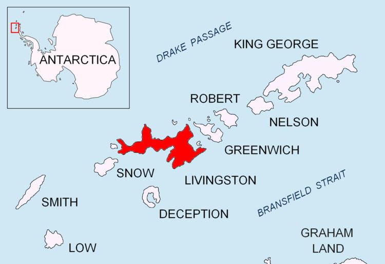
Rotch Dome is the sloping ice dome rising to 360 m immediately east of Byers Peninsula, and between Barclay Bay and Walker Bay in Livingston Island, South Shetland Islands, Antarctica. Bounded by Urvich Wall to the west, surmounting Etar Snowfield to the northeast and Verila Glacier to the east-northeast, and linked by a saddle to Casanovas Peak to the northeast.
Contents
Location
The highest point is located at 62°38′00″S 60°52′59″W which is 10.4 km southwest of Casanovas Peak, 6.75 km north by west of Elephant Point, 6.1 km east of Tsamblak Hill and 4.77 km south by east of Rowe Point (British mapping in 1968, Bulgarian in 2005 and 2009).
Maps
References
Rotch Dome Wikipedia(Text) CC BY-SA