
 | ||
Barclay bay 11 06 10 wmv
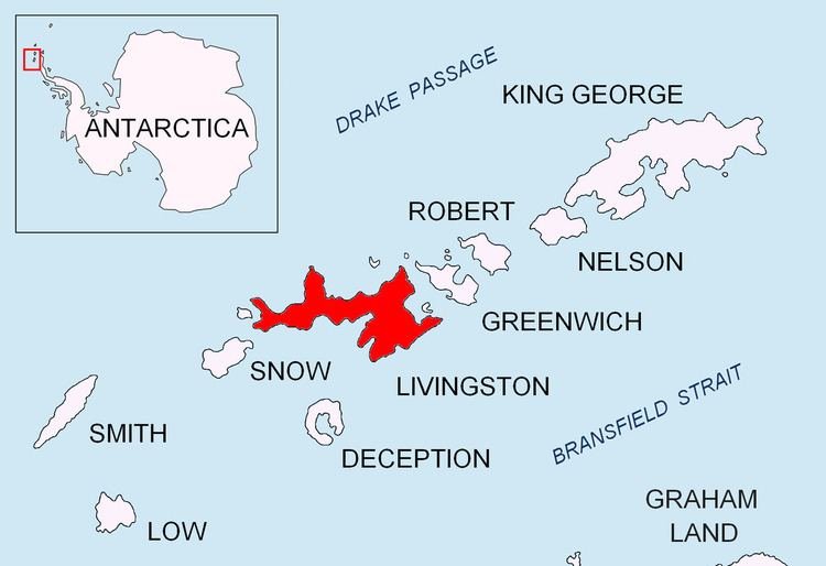
Barclay Bay (62°33′S 60°58′W) is a bay lying between Cape Shirreff and Essex Point on the north side of Livingston Island, in the South Shetland Islands. The name appears on an 1825 chart of the British sealing expedition under James Weddell, and is now established in international usage.
Contents
Barclay bay sloping p51b
Maps
References
Barclay Bay Wikipedia(Text) CC BY-SA