
 | ||
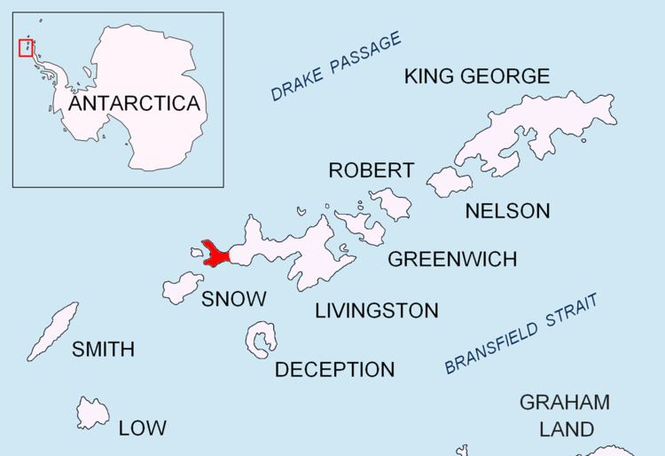
Urvich Wall (Bulgarian: Урвичка стена, ‘Urvichka Stena’ \'ur-vich-ka ste-'na) is the narrow ice-free and crescent-shaped ridge rising to 121 m on Livingston Island in the South Shetland Islands, Antarctica and bounded by Nedelya Point to the north and Rish Point to the southeast. Extending 6.7 km and up to 400 m wide, the ridge separates Byers Peninsula to the west from Rotch Dome to the east.
Contents
The ridge is named after the medieval fortress of Urvich in Plana Mountain, Bulgaria.
Location
Urvich Wall is centred at 62°38′50.5″S 61°57′45.8″W. Spanish mapping in 1992, and Bulgarian in 2005 and 2009.
Maps
References
Urvich Wall Wikipedia(Text) CC BY-SA