 | ||
The rame peninsula in south east cornwall a video guide
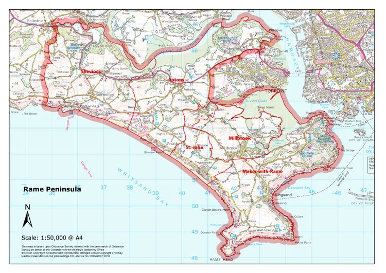
The Rame Peninsula /ˈreɪm/ (Cornish: Ros, meaning promontory) is a peninsula in south-east Cornwall, England. The peninsula is surrounded by the English Channel to the south, Plymouth Sound to the east, the Hamoaze to the northeast and the estuary of the River Lynher to the northwest. The largest settlement is Torpoint, which is on the eastern coast, facing Devonport in Plymouth, Devon.
Contents
- The rame peninsula in south east cornwall a video guide
- Views of the rame peninsula south east cornwall
- Settlements
- County history
- References
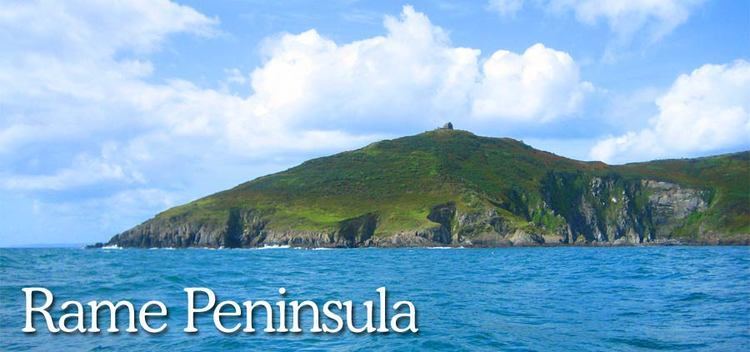
The peninsula is named after Rame Head, to the south of the peninsula. The peninsula also includes the village and parish of Rame. 50.324°N 4.214°W / 50.324; -4.214 The entire area of the peninsula is designated an Area of Outstanding Natural Beauty.
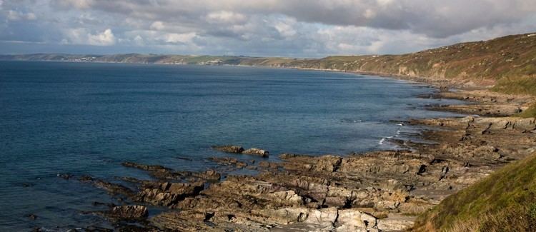
Views of the rame peninsula south east cornwall
Settlements
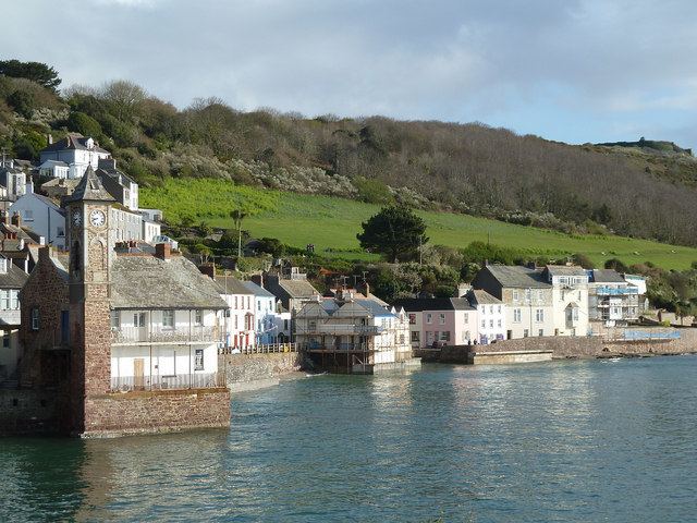
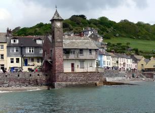
Other places on the peninsula include: Antony, Cawsand, Crafthole, Cremyll, Fourlanesend, Freathy, Higher Wilcove, Kingsand, Lower Tregantle, Maker, Millbrook, Mount Edgcumbe House, Mount Edgcumbe Country Park, Penlee, Portwrinkle, Sheviock, and St John and Withnoe Barton. Kingsand and Cawsand are protected by the headland. Much of the peninsula is owned by the Mount Edgcumbe estate which also includes Mount Edgcumbe Country Park.
County history
Until boundary reform in the 19th century a part of the peninsula was part of Devon, not Cornwall. The Counties (Detached Parts) Act 1844 transferred parts of Maker and St John, ensuring those parishes (and the peninsula) were entirely in Cornwall. These manors had been possessions of Tavistock Abbey from Norman times.