
Population 646 (2011) Civil parish Sheviock Local time Saturday 11:24 AM | OS grid reference SX 369 551 Unitary authority Dialling code 01503 Post town Torpoint | |
 | ||
Weather 12°C, Wind SW at 14 km/h, 90% Humidity | ||
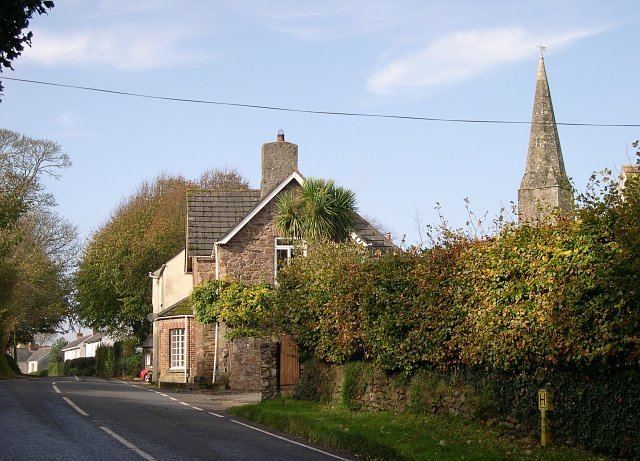
Sheviock (Cornish: Seviek) is a coastal civil parish and a hamlet in south-east Cornwall, England, United Kingdom. The parish is two miles (3 km) south of St Germans and three miles (5 km) south-west of Saltash.
Map of Sheviock, Torpoint, UK
Sheviock parish is in the St Germans Registration District and the population in the 2001 census was 683, decreasing to 646 at the 2011 census. To the north, the parish is bordered by St Germans Creek (the tidal estuary of the River Tiddy, also known as the Lynher River) and to the south by the sea. To the east, Sheviock is bordered by Antony parish and to the west by Deviock parish.
The parish church of St Mary stands in the hamlet of Sheviock at grid reference SX 370 550: the building is of the 13th, 14th and 15th centuries. Two late 14th-century tombs are thought to be of three members of the Courtenay family. There is stained glass by Wailes to the designs of George Edmund Street who restored the church in 1850. The restoration included rebuilding and reroofing the chancel.
There is a Cornish cross, known as Stump Cross, at a crossroads between Sheviock churchtown and Crafthole.