
Time zone EAT (UTC+3) Local time Friday 1:40 AM | Elevation 1,280 m | |
 | ||
Weather 19°C, Wind SW at 10 km/h, 84% Humidity | ||
Uganda decides besigye takes message of hope to rakai mutukula
Rakai is a town in the Central Region of Uganda. It is the site of the headquarters of Rakai District. Other towns in the district include Kalisizo, Kyotera Kakuuto and Mutukula.
Contents
- Uganda decides besigye takes message of hope to rakai mutukula
- Map of Rakai town Uganda
- Cow farm rakai district uganda
- Location
- Population
- Overview
- Points of interest
- Law enforcement
- References
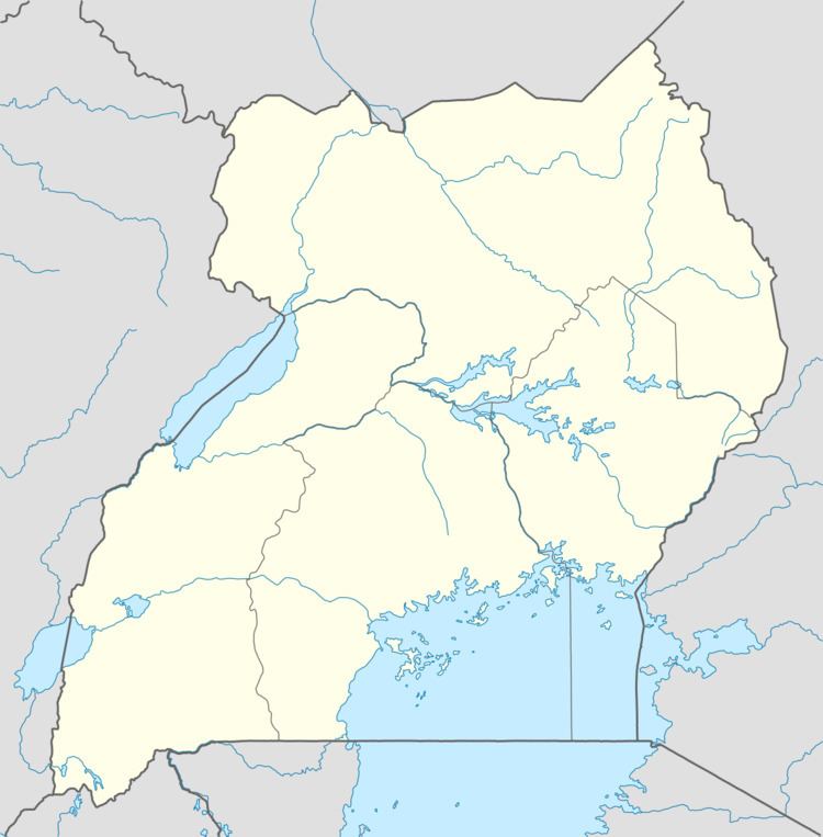
Map of Rakai town, Uganda
Cow farm rakai district uganda
Location
The nearest town is Kyotera, located approximately 20 kilometres (12 mi), north-east of Rakai Town. Rakai Town is about 52 kilometres (32 mi), by road, north-west of the international border with Tanzania at Mutukula. Rakai is located approximately 65.5 kilometres (41 mi), by road, south-west of Masaka, the largest town in the sub-region. This is approximately 198 kilometres (123 mi), by road, south-west of Kampala, Uganda's capital and largest city. The coordinates of Rakai Town are 0°42'36.0"S, 31°24'18.0"E (Latitude:-0.7100, Longitude:31.4050).
Population
The 2002 national census put the population of the town at about 5,920. In 2010, the Uganda Bureau of Statistics (UBOS) estimated the mid-year population at 6,900. In 2011, UBOS estimated the mid-year population at 7,000. During the national population census conducted on 27 August 2014, the population was enumerated at 7,592.
Overview
Rakai is the headquarters of Rakai District, which in the early 1980s, was the epicenter and first distinct in Uganda to be affected by the AIDS epidemic.
Points of interest
The following additional points of interest are located within the town limits or close to its edges:
Law enforcement
There is a police station in Rakai Town, administered and operated by the Uganda Police Force.