Local time Sunday 6:15 PM | ||
 | ||
Weather 26°C, Wind SE at 13 km/h, 62% Humidity | ||
Kyotera is a town in the southern part of the Central Region of Uganda.
Contents
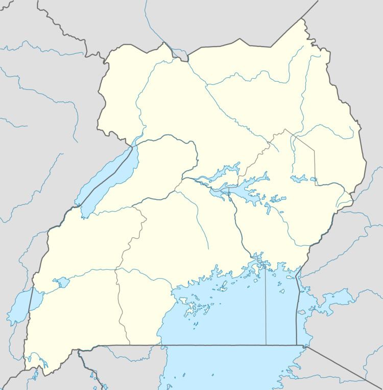
Map of Kyotera, Uganda
Location
Kyotera is located approximately 44 kilometres (27 mi), by road, southwest of Masaka, the largest city in the sub-region. This is approximately 29 kilometres (18 mi), by road, northeast of Rakai, where the district headquarters are located. The coordinates of the town are 0°37'54.0"S, 31°32'36.0"E (Latitude:-0.631667; Longitude:31.543333).
Population
During the 2002 Uganda National Census, Kyotera's population was enumerated at 7,590. In 2010, the Uganda Bureau of Statistics (UBOS) estimated the population at 8,800. In 2011, UBOS estimated the mid-year population of at 9,000.
Points of interest
The following additional points of interest are located inside or near Kyotera:
Photos
References
Kyotera Wikipedia(Text) CC BY-SA
