
Local time Saturday 7:16 AM | ||
 | ||
Weather 18°C, Wind S at 5 km/h, 94% Humidity | ||
Kalisizo is a town in southern part of the Central Region of Uganda. Although it is the leading commercial center in Rakai District, the administrative headquarters of the district are in Rakai.
Contents
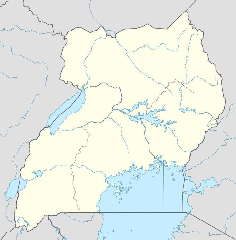
Map of Kalisizo, Uganda
Location
Kalisizo lies on the main highway between Masaka and the border town of Mutukula on Uganda's border with Tanzania. Kalisizo is located approximately 34 kilometres (21 mi), by road, southwest of Masaka, the largest city in the sub-region. The coordinates of the town are:0°32'06.0"S, 31°37'21.0"E (Latitude:-0.5350; Longitude:31.6225).
Population
In 2008, the Uganda Bureau of Statistics estimated the population of the town at 31,000 compared to 32,700 in 2011.
Points of interest
The following points of interest lie within the town limits or close to the edges of town:
References
Kalisizo Wikipedia(Text) CC BY-SA