
- left South Raccoon River - elevation 850 ft (259 m) - elevation 761 ft (232 m) | - right North Raccoon River Length 50 km | |
 | ||
Sources North Raccoon River, South Raccoon River, Middle Raccoon River Cities | ||
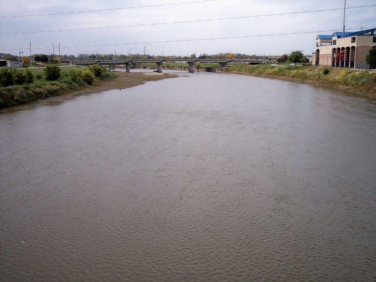
Kayaking the middle raccoon river in iowa
The Raccoon River is a 30.8-mile-long (49.6 km) tributary of the Des Moines River in central Iowa in the United States. As measured using the longest of its three forks, its length increases to 226 miles (364 km). Via the Des Moines River, it is part of the watershed of the Mississippi River. The river runs through an intensely cultivated area of croplands and livestock farming, receiving Tile drainage from slow-draining rich natural bottomlands.
Contents
- Kayaking the middle raccoon river in iowa
- Map of Raccoon River Iowa USA
- Kayaking raccoon river park west des moines ia
- HistoryEdit
- CourseEdit
- Drinking water useEdit
- Agricultural pollutionEdit
- References
Map of Raccoon River, Iowa, USA
The Des Moines metropolitan area has been obtaining its drinking water from the Raccoon River just before it empties into the Des Moines River through water utilities since the 19th century. During the Great Flood of 1993, the Raccoon River flooded the water treatment facility of Des Moines, shutting off the city's supply of drinking water.
Kayaking raccoon river park west des moines ia
HistoryEdit
The Racoon River was first documented on the 1814 map by Lewis and Clark, though the USGS references the name to a later map from 1843 named Hydrological Basin of the Upper Mississippi River based on field measurements by Joseph N. Nicollet during his Midwestern expeditions in the 1830´s.
CourseEdit
The Raccoon River is a 30.8-mile-long (49.6 km) tributary of the Des Moines River in central Iowa in the United States. It flows for much of its length as three streams and when measured using the longest of its three forks, its length increases to 226 miles (364 km). The river runs through an intensely cultivated area of croplands mostly of corn and soy and livestock farming, where slow-draining rich natural bottomlands have been tiled to drain them for agricultural cultivation.
The north and south forks join in Dallas County just west of Van Meter, and the Raccoon River flows generally eastwardly into Polk County, past Walnut Woods State Park and West Des Moines. It joins the Des Moines River just south of downtown Des Moines and is part of the watershed of the Mississippi River.
Drinking water useEdit
Both Racoon and Des Moines rivers have been providing drinking water for the Des Moines metropolitan area through water utilities since the 19th century. During the Great Flood of 1993, the Raccoon River flooded the water treatment facility of Des Moines, shutting off the city's drinking water supply.
Agricultural pollutionEdit
Spring thaws, as in the spring of 2013, and rainy spells after drought wash nitrate from fertilizer into the river. On November 20, 2014 nitrates spiked at 13.7 parts per million (ppm), making the water unsafe for pregnant women and infants. (The US Environmental Protection Agency requires officials to inform the public about safety risks at 10 ppm.) At the time, these were the highest readings in the nation.